
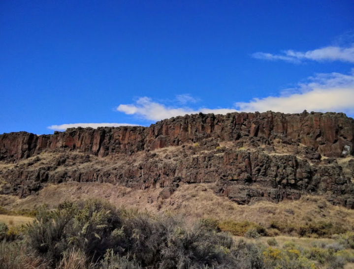
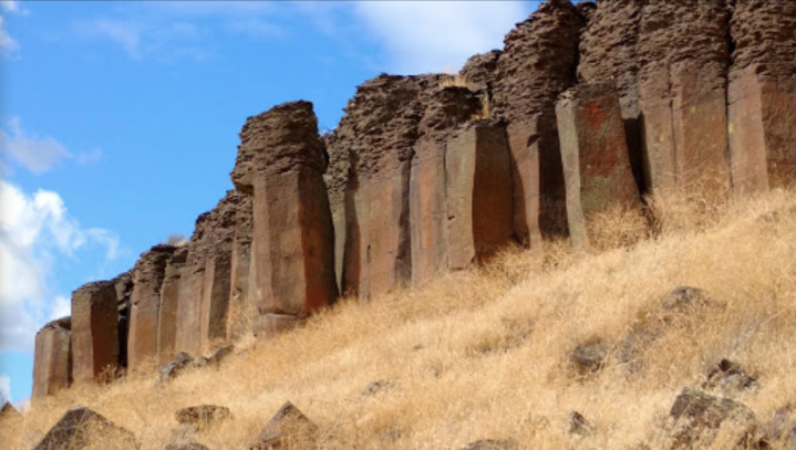
The Drumheller Channels In Washington's Quincy-Columbia Basin Look Like Something From Another Planet

Jessica Wick
Author
Washington’s Columbia Basin is highly underrated. It might seem as if there’s not much to see in the south-central part of the state, but it’s actually full of a rugged, understated beauty you won’t see anywhere else. And if you happen to stumble upon the Drumheller Channels National Natural Landmark, it’s safe to say you’ll have an experience that’s out of this world… or at least, you might think you’ve left the planet. Take a closer look at this landscape.


Related Stories
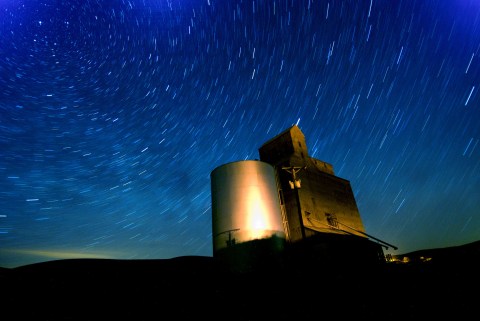
Surges Of Up To 100 Meteors Per Hour Will Light Up The Washington Skies During The 2020 Lyrid Meteor Shower This April

An Amethyst Cave And Zero Gravity Massages Await You At Flow Motion In Washington
There's a 50,000 Year Old Cave Bear Skeleton (And Much More) At Wonders Of The World In Washington
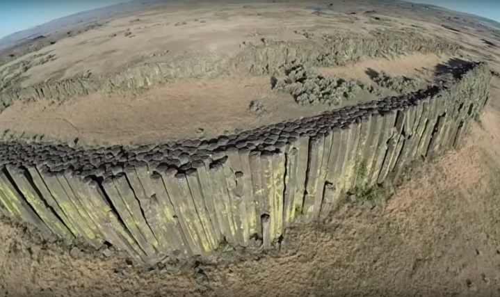
The Drumheller Channels National Natural Landmark is open year-round, but unmaintained dirt roads might not be usable in the winter. For an aerial view of some of the area’s best spots, check out this video by Bruce Bjornstad.
OnlyInYourState may earn compensation through affiliate links in this article. As an Amazon Associate, we earn from qualifying purchases.