With Unique Rock Formations And Sweeping Views, Blackrock Summit Is An Otherworldly Trail In Virginia
By Beth|Updated on February 15, 2024(Originally published April 23, 2021)
×
Beth
Author
A lifelong Virginia resident, Beth loves exploring different parts of the world and currently resides in Charlottesville. She holds a degree in English Literature and one of her short stories has been featured in the Shenandoah Review. Other interests include hiking, songwriting, and spending time in the mountains.
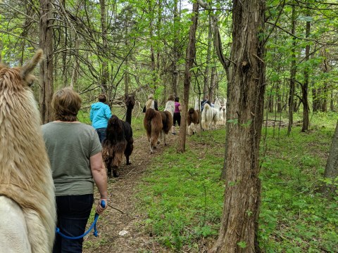
Some of the best hikes in Virginia lead to beautiful overlooks. While there are plenty of other kinds of trails, there’s something so rewarding about hiking up to a sweeping mountain overlook. That’s the exact experience you can look forward to when you venture to Blackrock Summit in Virginia. And the best news of all? The trek measures just 1.1 miles and is considered to be relatively easy. So that means you can spend the majority of your time outdoors enjoying the beautiful view from the top! Here’s more on what you can look forward to when you hike Blackrock Summit Trail.
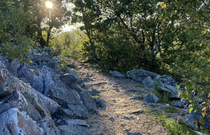
Blackrock Summit Trail is located within Shenandoah National Park. The parking area for this trail is just north of mile marker 85 on Skyline Drive (The main scenic road through the national park).
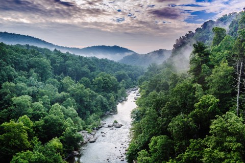
The trail itself is a pretty simple hike up to the top of the mountain but along the way, you will experience the forested scenery and see the iconic views that Shenandoah National Park is known for.
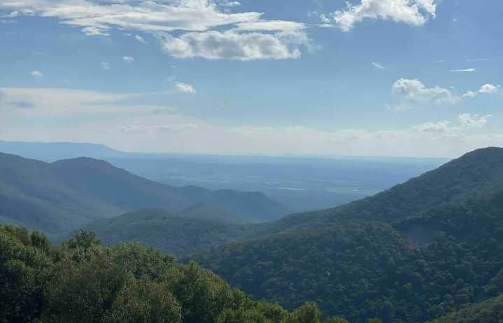
The trail showcases some of the most beautiful scenery in the southern district of the park. Plus, accessing sweeping mountain views is relatively easy. Most hikers reach the summit in less than 20 minutes.
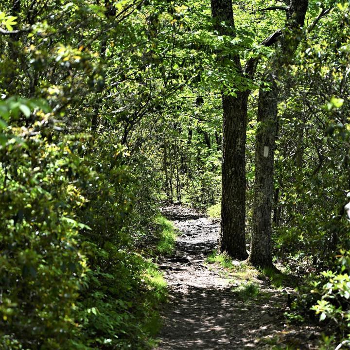
The Appalachian Trail runs through the area so it's best to have your AllTrails map handy. Click the link for the Blackrock Summit via Trayfoot Mountain and Appalachian Trail to get the map. In our experience, it helped to avoid hopping on the wrong trail because if you do you may be on that hike for a long time before you realize it.
Advertisement
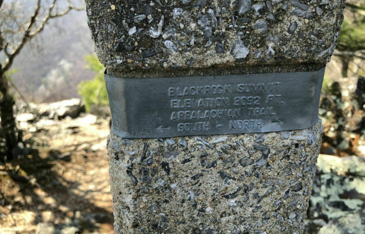
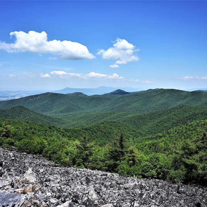
At the top, you'll find a signpost that indicates you've reached the elevation of 3,092 feet.
At this vantage point, you will be able to see many lush rolling mountains spanning off in the distance.
Advertisement
The best way to hike this trail is from the trailhead follow the Appalachian Trail heading up to the mountain peak and then loop back down the Blackrock Hut Fire Road. There are several intersecting trails so keep your map handy and you'll be just fine.
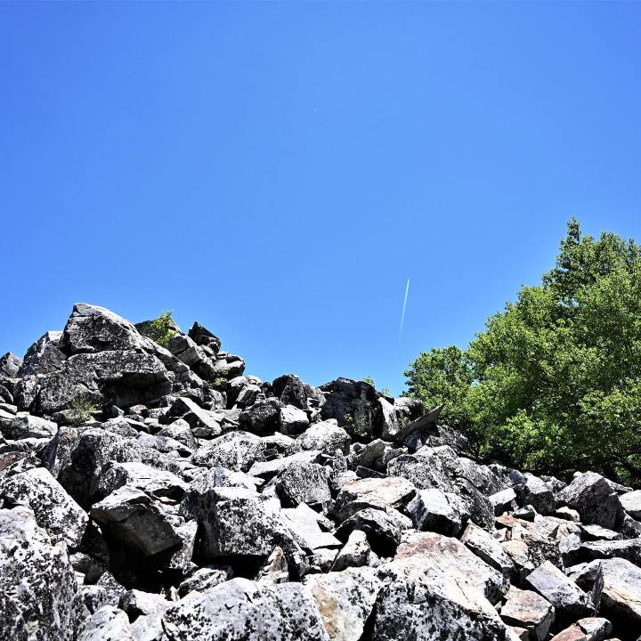
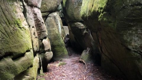
The boulder field at the top makes for a memorable point of interest along the hike. Not only do the rocks create a stunning contrast with the lush green mountain plant life, but this is the place where you get that grand view of the Blue Ridge Mountains.
You might consider packing a picnic to enjoy at the top. At the very least, be sure to bring your camera!
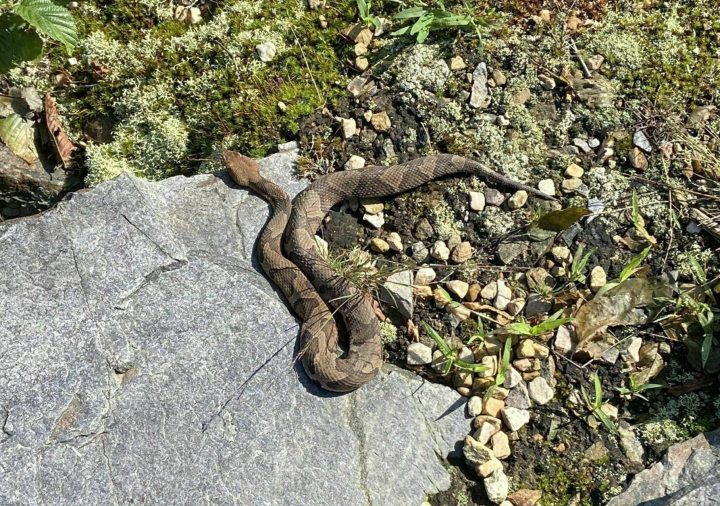
Have you ever hiked Blackrock Summit Trail in Virginia? What did you think? Be sure to share your thoughts and experiences with us in the comments – we’d love to hear from you! To learn more about the trail and to keep track of your hike please visit the AllTrails app and open up the Blackrock Summit page. Also, check out this Adventuring in the Moment video where we hiked this trail and showed all of the glorious details, plus we saw a snake!