
The Remote Hike To Upper Muley Twist Canyon In Utah Winds Through Slot Canyons And Slickrock
×

Catherine Armstrong
Author
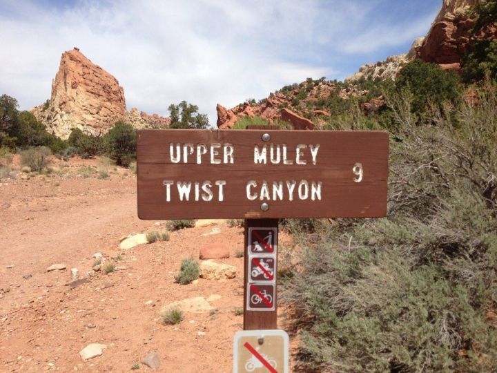
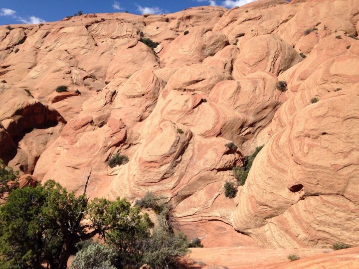
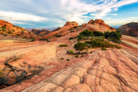
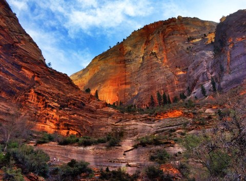
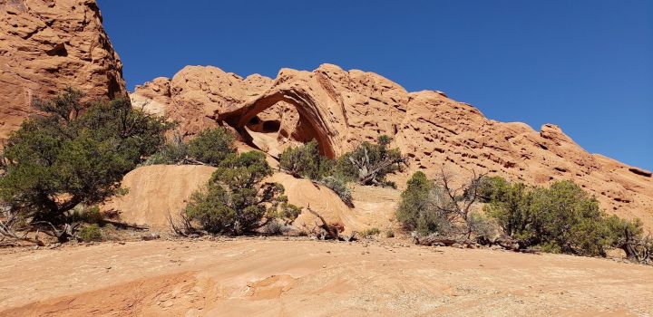
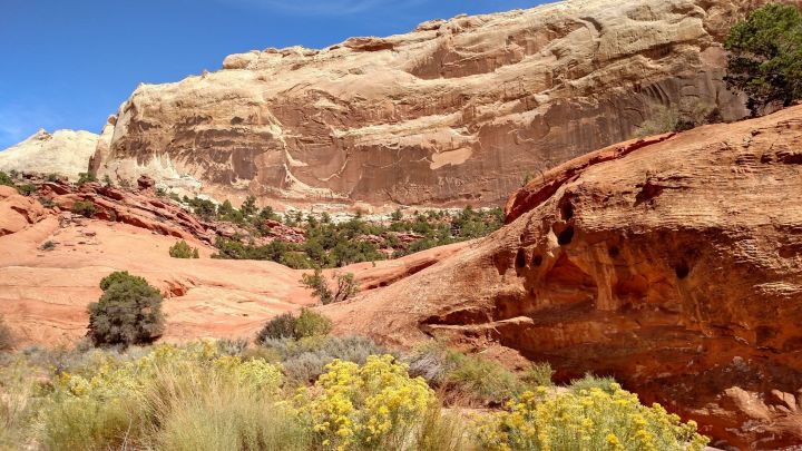
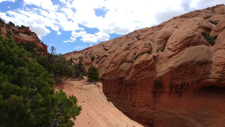
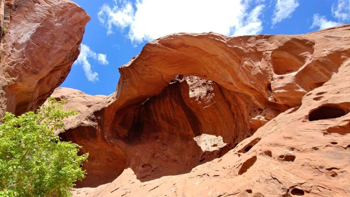
Utah’s most popular hiking trails are often crowded with throngs of tourists, so if you want to truly escape into the natural beauty of the backcountry, you’ll have to travel a bit farther afield. The Upper Muley Twist Canyon Trail in Capitol Reef National Park is difficult and requires some map skills, but you’ll likely have this vast landscape mostly to yourself.
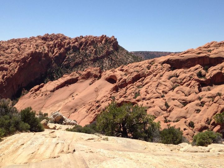
If you have a high-clearance vehicle, you can drive to the Strike Valley Overlook parking lot, about a mile down the road.
Advertisement
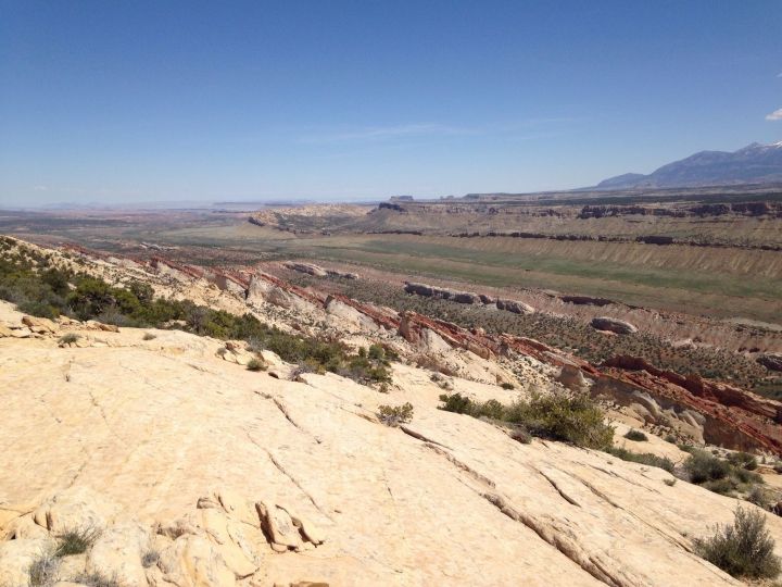
You'll want to make sure to bring plenty of water on this trail! It's mostly sun-exposed and it's very remote.
Advertisement
Related Stories
Hike To The Candy Cliffs In Utah To See Vibrant Colors
Observation Point Trail In Utah Is Full Of Awe-Inspiring Rock Formations
Rent A UTV In Utah And Go Off-Roading Along The Hell's Revenge Trail In Moab
Advertisement

Learn more about Capitol Reef National Park on its website, and follow the park’s Facebook page for the latest updates. You can print out trail information and a map here.
Read more about the Burr Trail in this article.
OnlyInYourState may earn compensation through affiliate links in this article. As an Amazon Associate, we earn from qualifying purchases.
Featured Addresses
Upper Muley Twist Canyon Trail, Torrey, UT 84775, USA