
The Remnants Of The Abandoned Kings Highway In South Carolina Are Hauntingly Beautiful

Robin Jarvis
Author
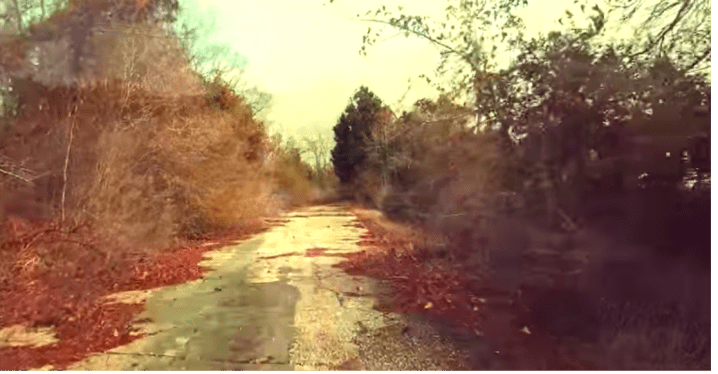
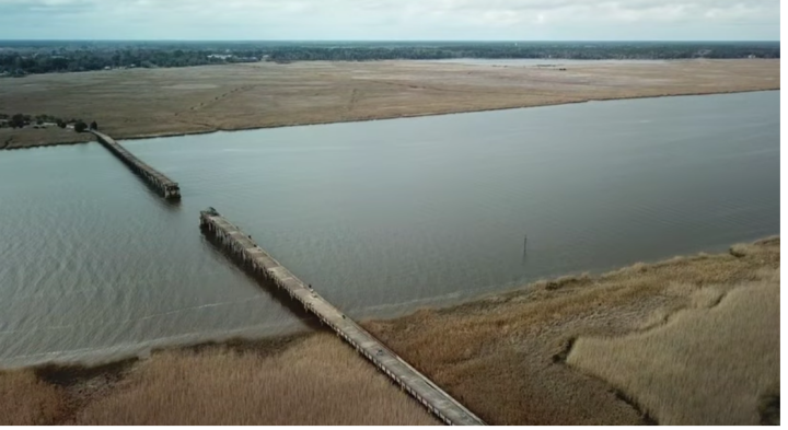
Abandoned places are fascinating, especially when left to the elements to decay naturally. We’ve written about the oldest highway in America, the Kings Highway, and how it began in Charleston and ran all the way to Boston. You can read all about the highway here. You can even drive on parts of the very same route that was carved into the landscape if you travel from Charleston to Myrtle Beach.

Related Stories
The Bridge To Nowhere In The Middle Of The South Carolina Woods Will Capture Your Imagination
The Amazing Blue Ridge Railroad Trail In South Carolina Leads To 2 Unfinished Train Tunnels
Most People In South Carolina Don’t Know About This Old Abandoned Prison Just Off The Coast
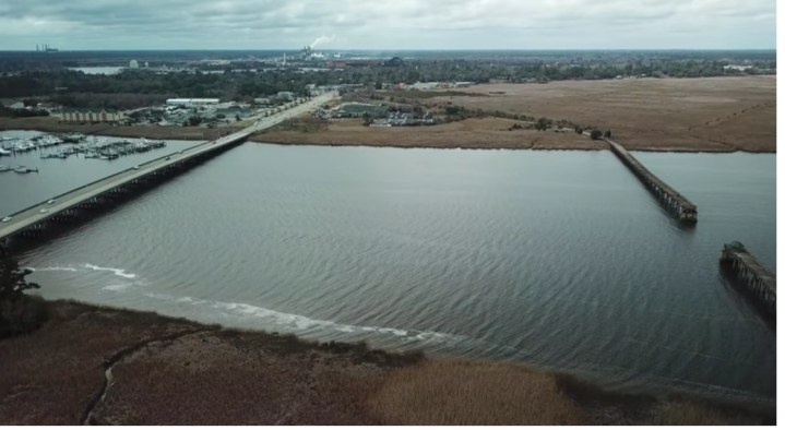
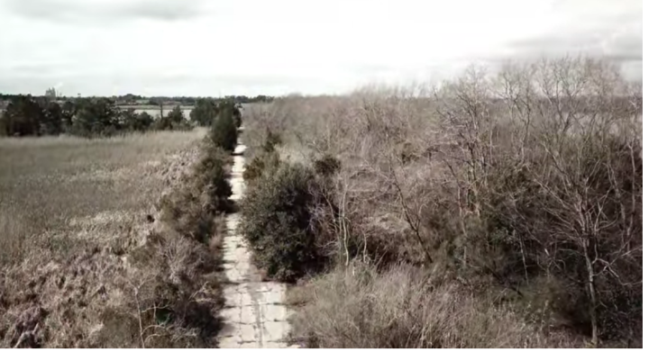
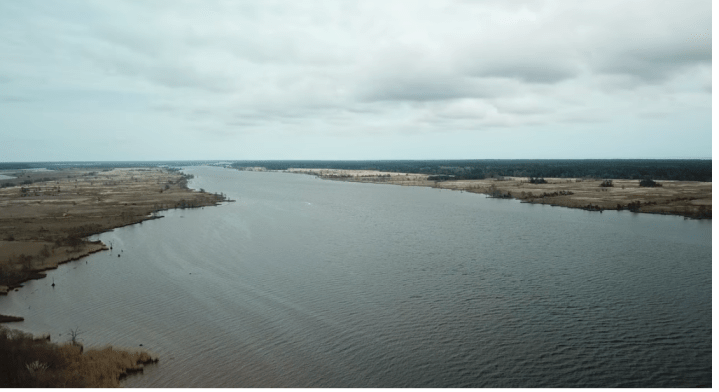
Learn more about it by watching this beautiful drone video captured by YouTube user Steve Tanner:
Surprisingly, large portions of the original Kings Highway are still being used between Charleston and Boston. This means if you’re traveling on Highway 17 between Charleston and the North Carolina state line, then you’re probably traveling on much of the same route as did the Colonials!
OnlyInYourState may earn compensation through affiliate links in this article. As an Amazon Associate, we earn from qualifying purchases.