
Short And Sweet, Oregon's Otter Crest Loop Includes Sweeping Ocean Views, A Bridge, And A Famous Punchbowl
×

Catherine Armstrong
Author
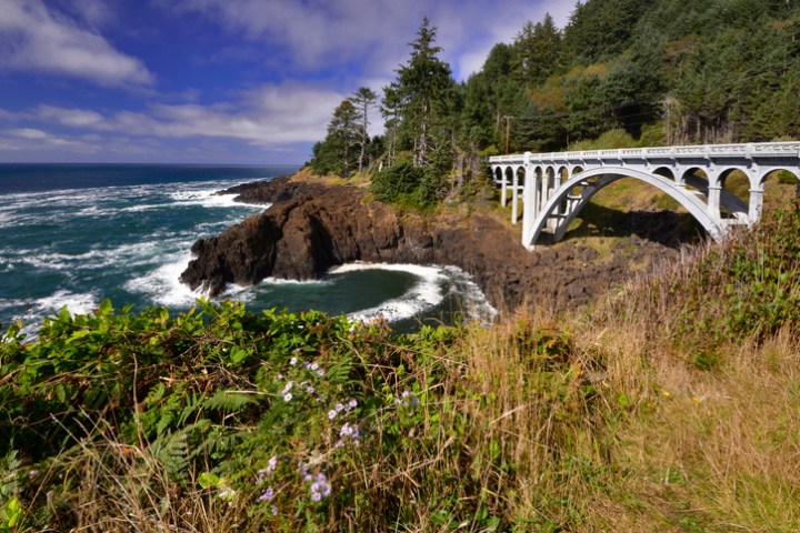
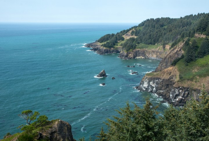
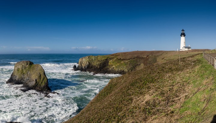
Highway 101 stretches along the Oregon Coast for 363 miles, and it offers scenic views of the ocean and coastline. Along the way, there are a few little detours you can take that offer even more cool attractions. Otter Crest Loop is a side trip that leads you to some sweeping ocean views, a cool bridge, and a famous punchbowl. Check it out!

Advertisement

Advertisement

Related Stories
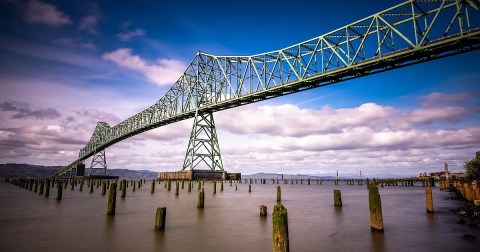
Built In 1966, The Astoria-Megler Bridge In Oregon Is The Longest Continuous Truss Bridge In North America
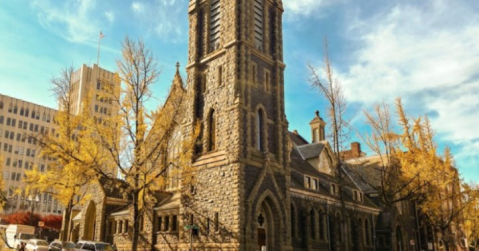
First Presbyterian Church Is A Pretty Place Of Worship In Oregon

Book Lovers Swoon Over This Beautiful Oregon Library That Was Built In 1913


Advertisement

Have you driven the Otter Crest Loop? Share your photos with us in the comments, and give our readers tips about your favorite attractions along the Oregon coast.
OnlyInYourState may earn compensation through affiliate links in this article. As an Amazon Associate, we earn from qualifying purchases.
Featured Addresses
Otter Crest Loop, Depoe Bay, OR, USA