Soak In The Scenery On This Oregon Trail That Was Once A Historic Highway
When you walk, run, or bike portions of The Historic Columbia River Highway Trail, you’re taking a journey though some of Oregon’s most stunning scenery. You’re also traveling down a piece of history that was almost forgotten and lost forever.
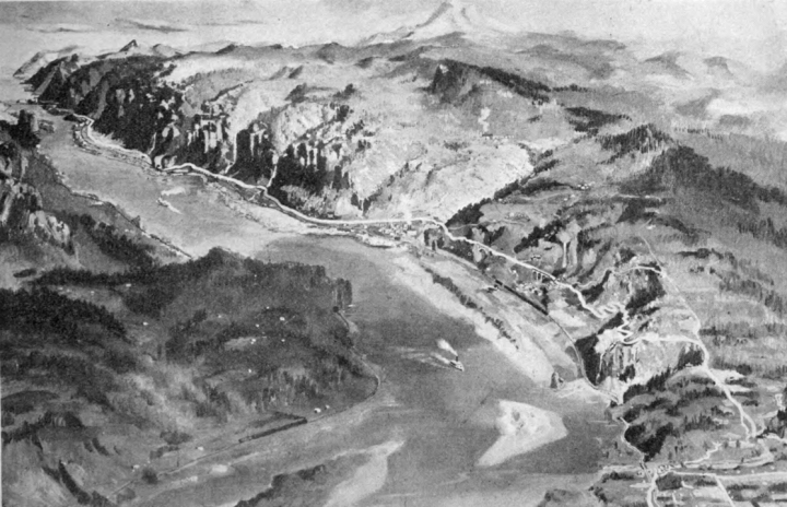
The highway immediately had issues, since the number of drivers exceeded its capacity. Rockfall was a constant issue, and the highway was diverted a few times and widened, and the Mosier Twin Tunnels were also widened and had one-way traffic signals installed.
In the 1960s, Interstate 84 was built parallel to the Columbia River Highway, making the original highway obsolete. Several sections were largely abandoned and forgotten for almost two decades.
In the 1960s, Interstate 84 was built parallel to the Columbia River Highway, making the original highway obsolete. Several sections were largely abandoned and forgotten for almost two decades.
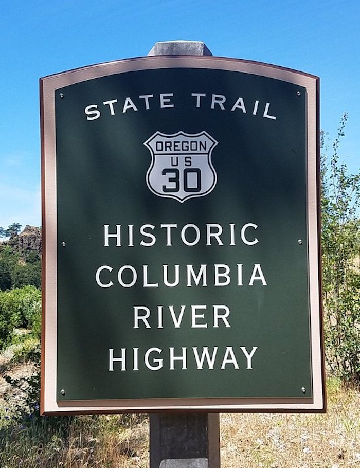
Advertisement
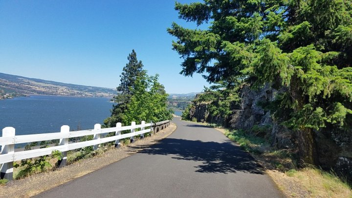
Advertisement
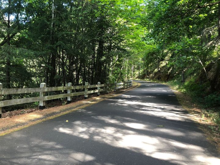
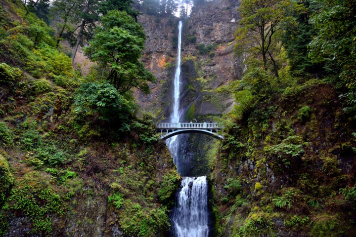
Part of this segment is located in the "Waterfall Zone," which also allows cars.
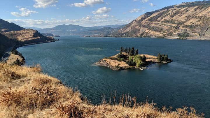
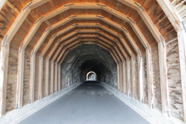
This section is four miles long. You'll pay a $3 day-use fee at the trail heads on either end.
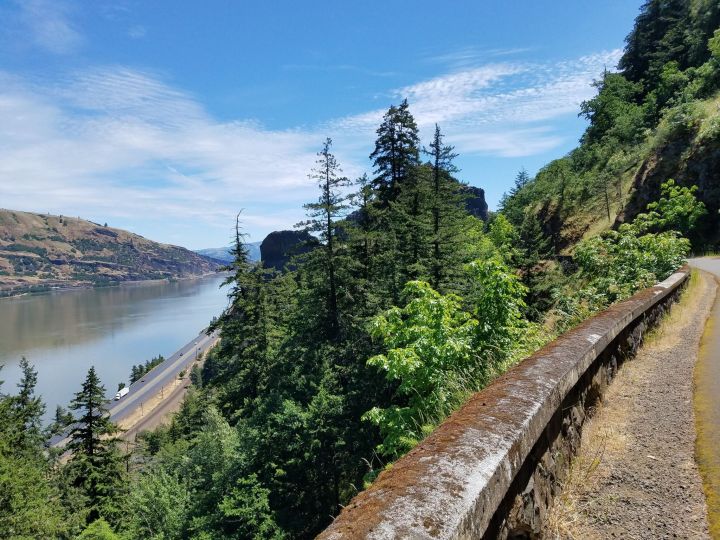
conc
OnlyInYourState may earn compensation through affiliate links in this article. As an Amazon Associate, we earn from qualifying purchases.
Featured Addresses
Historic Columbia River Highway State Trail, Historic Columbia River Hwy State Trail, Cascade Locks, OR 97014, USA


