
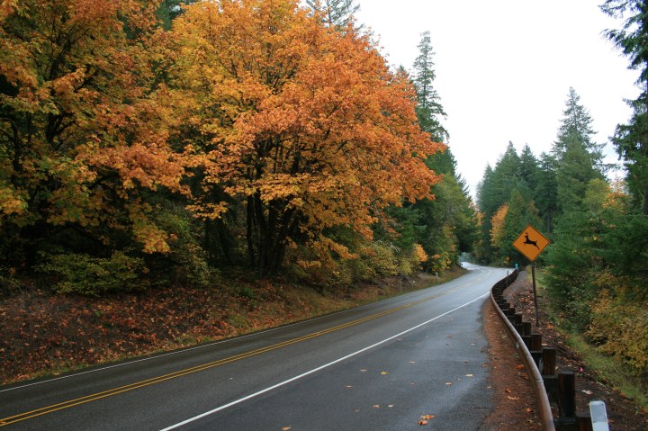
For A Beautiful Fall Road Trip, Take The Oregon Highway Of Waterfalls
×

Catherine Armstrong
Author
Autumn is the time to take a scenic drive, and one that includes more than a dozen waterfalls sounds pretty good to us. Allow yourself at least 5-7 hours for this drive, and you might even consider breaking it up over two days by camping along the way or staying at one of the inns in the area.

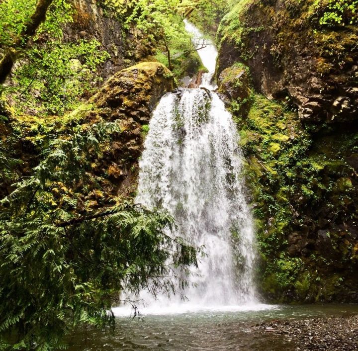
A .8-mile trail takes you to the pretty waterfall, which tumbles 50 feet off a cliff into a little pool. The trail is accessible, but can be a little bit tricky to navigate for wheelchairs.
Advertisement
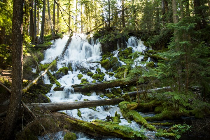
The trail is easy enough for most kids to tackle and just has a few somewhat steep sections along the way. Fall Creek Falls is a double waterfall.
Advertisement
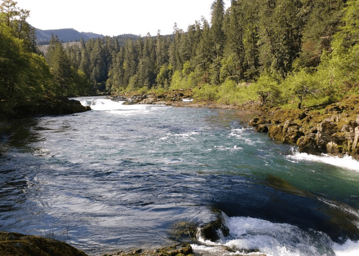
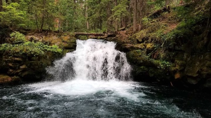
The waterfall itself is more like a little cascade in the river, but if you're lucky and patient, you might be able to capture a shot of a salmon or steelhead jumping it.
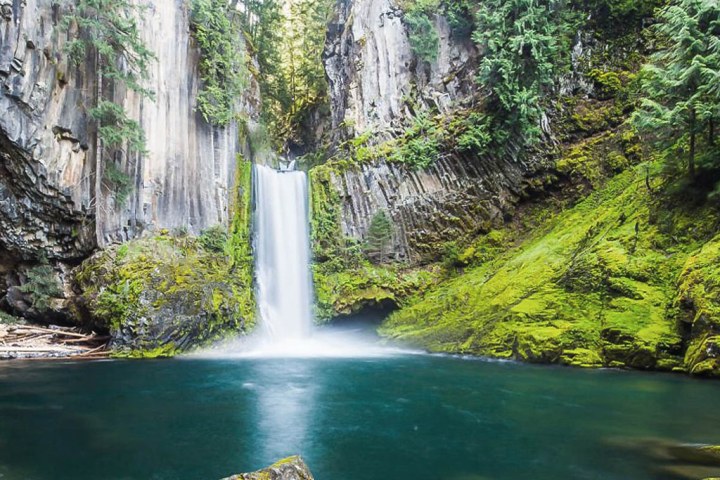
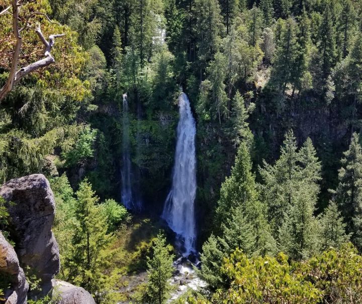
This is one of the most photographed falls in the Beaver State, and for good reason. Cut right into a basalt cliff, the double-tiered falls plunge 120 feet. It's just a short .4-mile walk to the viewing platform, but you'll need to climb 200 steps. It's worth it!
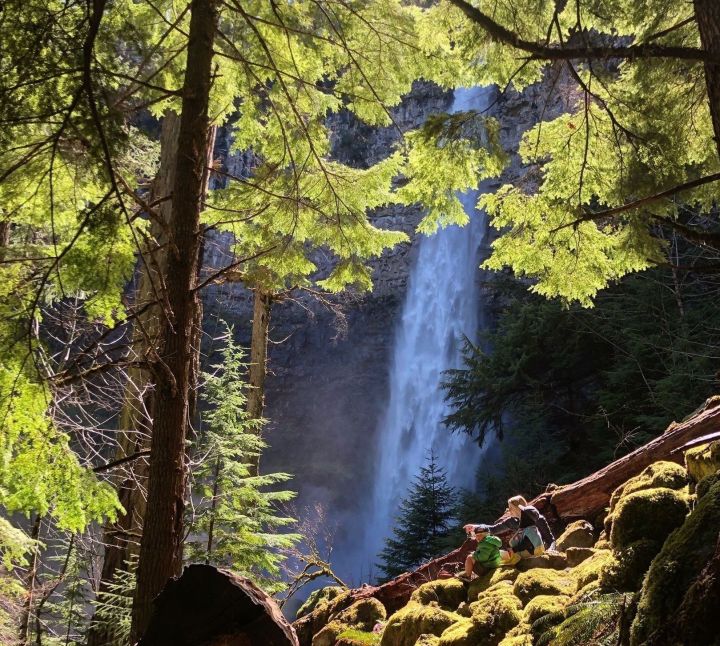
Watson Falls is one of the tallest in Oregon, cascading 272 feet from the cliffs high above the river. The trail is not even a half mile long, but it's fairly steep, with more than 500 feet of elevation gain.
Related Stories
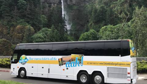
The Columbia Gorge Express In Oregon Will Lead You To Multnomah Falls
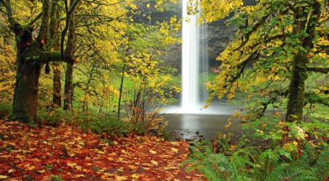
The Most Beautiful Fall Foliage Hands-Down Is At Oregon's Silver Falls State Park
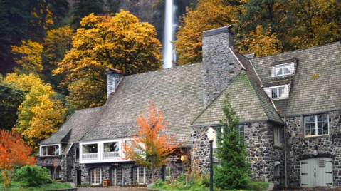
You'll Be Surrounded By Vibrant Fall Foliage When You Dine At Multnomah Falls Lodge In Oregon
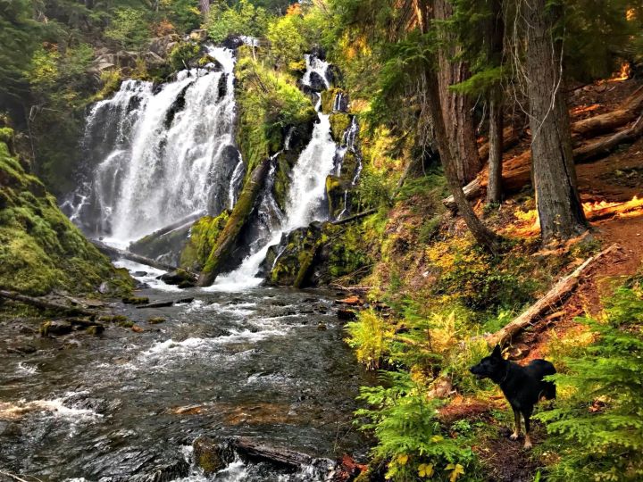
The water tumbles in several separate streams, and if you use your imagination just a bit, you can picture a white horse's tail. There's an observation deck to see it right from the parking lot.
This picturesque place can be accessed with just a short, easy half-mile walk.
Advertisement

It's just a short, easy .4-mile hike to see it.

The Rogue River cuts through these volcanic-rock cliffs and there's a view point where you can get a good look.
Check out Barr Creek Falls, Mill Creek Falls, and Pearsony Falls here.
From here, you'll pass Lost Creek Reservoir, drive through the quaint town of Shady Cove, and check out Table Rocks before arriving in Gold Hill, where you can hook back up with Interstate 5.
From here, you'll pass Lost Creek Reservoir, drive through the quaint town of Shady Cove, and check out Table Rocks before arriving in Gold Hill, where you can hook back up with Interstate 5.
Are you ready to take this beautiful drive? You might consider staying the night at Steamboat Inn, which is located right in the middle of the 33-mile stretch of the North Umpqua River that’s set aside for fly-fishing.
OnlyInYourState may earn compensation through affiliate links in this article. As an Amazon Associate, we earn from qualifying purchases.