The 7 Most Beautiful Hikes In All Of San Francisco
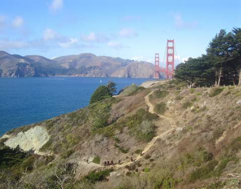
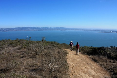
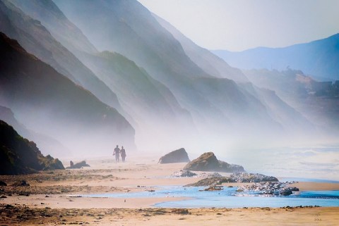
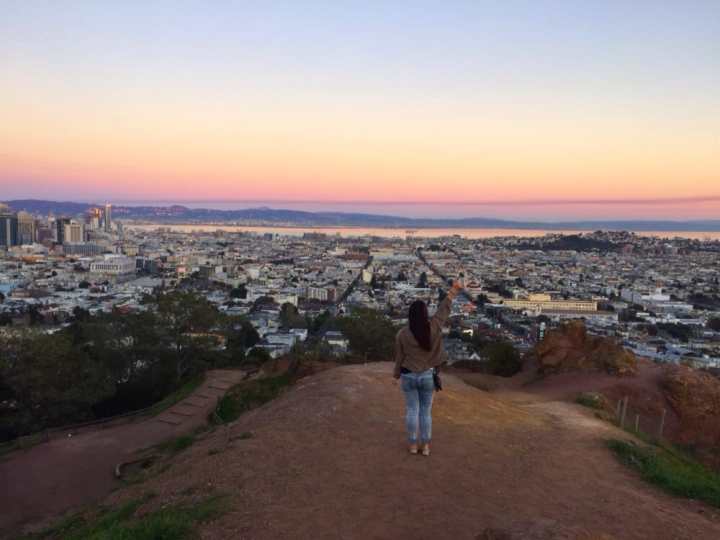
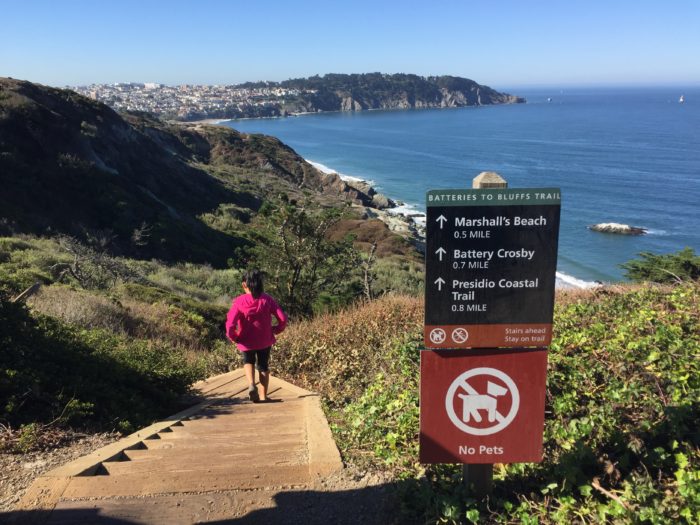
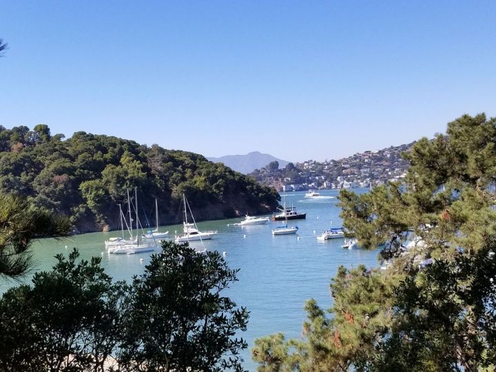
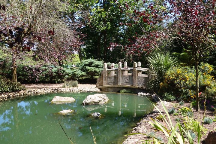
Pinch yourself if you’re lucky enough to call Northern California home, where you’ll find some of the best hikes in San Francisco. The natural beauty you’ll find in and around this fantastic city is unbeatable. These trails allow you an escape from the daily grind and from the city’s bustling pace. It also allows for more education about the interesting history of these natural surroundings. Find out why San Franciscans value these open spaces and discover these stunning hikes, trails, and landscapes in San Francisco, California.
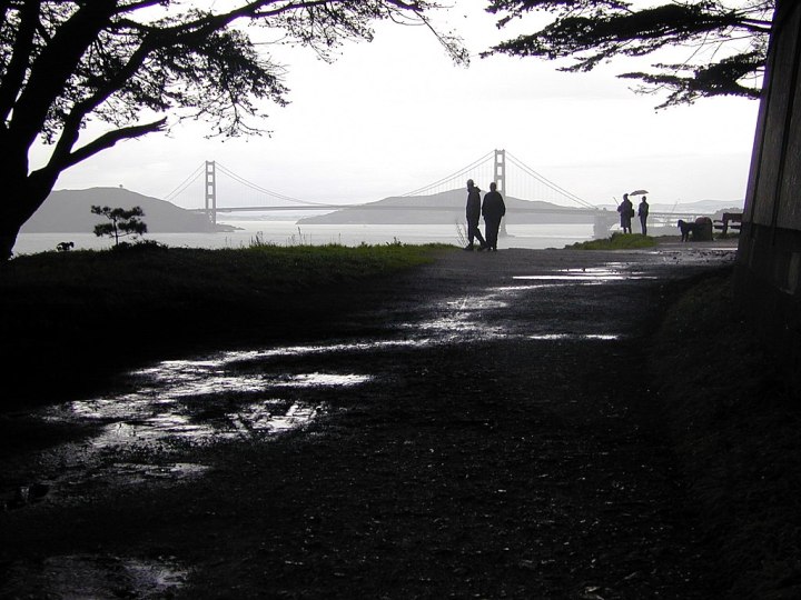
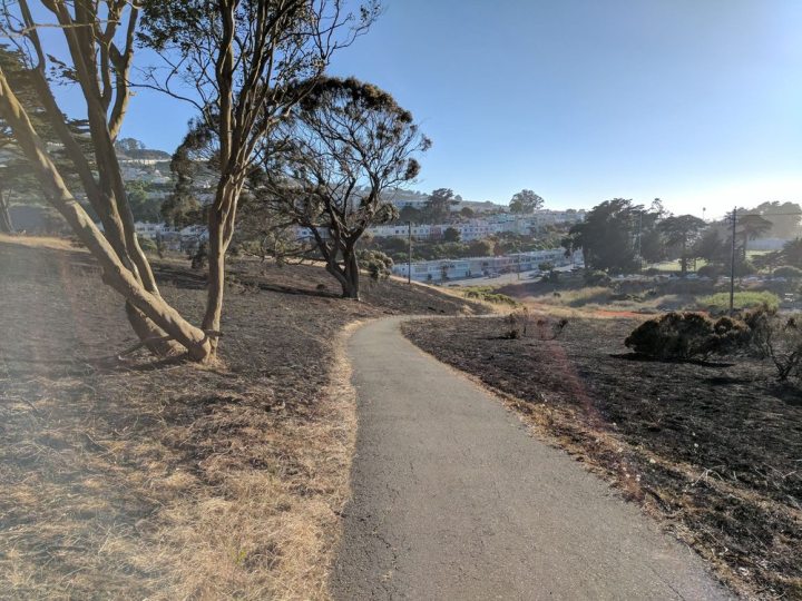
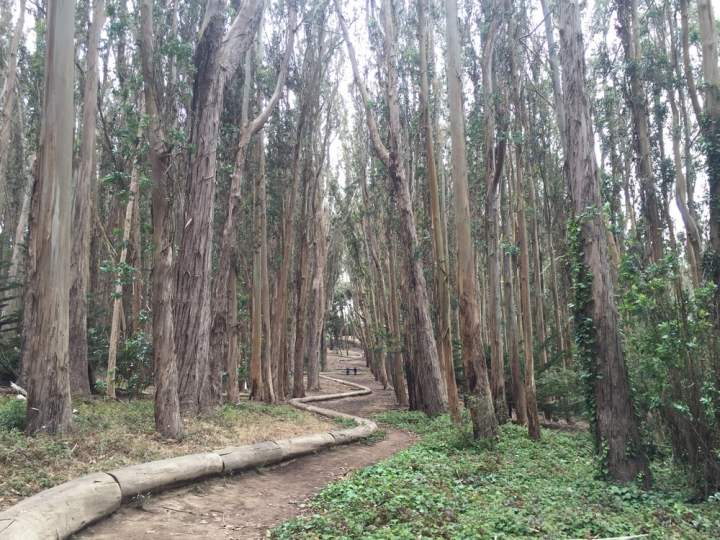
Have you been to one of the best hikes in San Francisco? Let us know, and share this story. More information, including directions, is available on all of the hikes in the area. Hiking The Golden Gate City’s beautiful landscapes can certainly build up an appetite. After a trek in the woods, try one of these family-owned restaurants.
OnlyInYourState may earn compensation through affiliate links in this article. As an Amazon Associate, we earn from qualifying purchases.
More to Explore
The 7 Most Beautiful Hikes In All Of San Francisco
Where is another one of the best hikes in Northern California?
Pleasants Ridge Trail, in Winters, offers a variety in landscape and beauty. The first section is shaded and steep, but it gets easier from there for all skill levels. At only 0.7-miles, the trailhead of this hike is in the Putah Creek Wildlife Area off of California State Route 128. The wildlife area offers 673 acres of hillside slopes, from mild to sharp, and plenty of animals in their natural habitats, such as the Bullock's oriole, California towhee, and the black-headed grosbeak.
Where is a kid-friendly hike around Northern California?
Subway Cave Trail is tucked away right outside of Lassen Volcanic National Park in Hat Creek. Here folks are led through an unusual cave system, offering a peek at an underground lava tube, less than one-third mile long. It all started about 20,000 years ago, when the earth broke apart and large amounts of volcanic rock poured forth to create the enormous, Hat Creek Lava Flow. This is a must-see for you spelunkers and geology fans out there. All of this excitement is packed into an easy 0.7-mile hike, taking about 15 minutes to complete.
Where is the best view in Hat Creek Valley, California?
Hat Creek Rim Overlook sits about three miles outside the town of Old Station. Visit this amazing natural resource and breathe in the stunning landscape, and if there's time, take a casual walk along the Pacific Crest Trail. This site is open from dawn to dusk, offering picnic tables, bathrooms, and parking.


