Most People Don't Know About North Carolina's Own Hatfield And McCoy Dispute
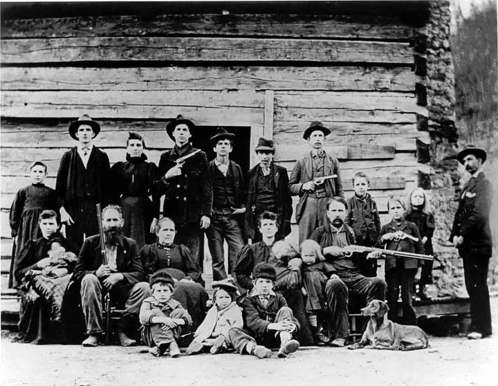
It never gained quite the notoriety of neighboring West Virginia’s Hatfield and McCoy wars, but North Carolina’s own Hatfield and McCoy land dispute left some very deep scars between our state and Georgia for many years in the early 19th century.
What began as no one wanting a piece of land called the Orphan Strip that came to rest somewhere between the North Carolina / Georgia boundaries, ended in a full-fledged war between the two states for possession of the Orphan Strip.
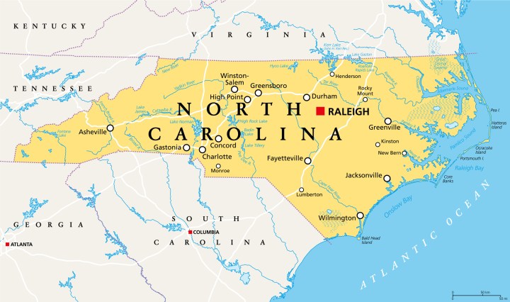
For a while it was no-man's land in the Orphan Strip, until the feds demanded the states cede certain land claims back to the government. This is when the war began. Georgia agreed to cede Alabama and Mississippi in exchange for the Orphan Strip and some other tracts of land. The swap was made official in 1802 with the Act of Cession. But here's the problem: the Act didn't clarify who was to govern the land.
More importantly, it didn't define the state boundary line between North Carolina and Georgia and where the Orphan Tract fell in relation.
More importantly, it didn't define the state boundary line between North Carolina and Georgia and where the Orphan Tract fell in relation.
Advertisement
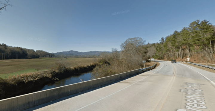
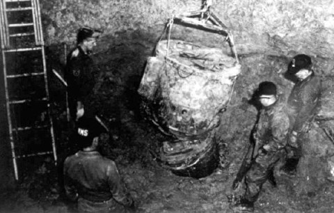
Some historians claim the Walton Wars didn't actually include any real battles. While others claim there were two big battles, including the McGaha Branch battle that took place in North Carolina near the Wilson Bridge area on Greenville Highway (pictured) approximately one mile south of Brevard.
Advertisement

It turns out many of the residents of Walton County were loyal to North Carolina and refused to pay taxes to Georgia. In December of 1804, things had progressed beyond control and a North Carolina constable named John Havner was killed. The North Carolinians quickly put together a militia and arrested some ten Walton County officials.
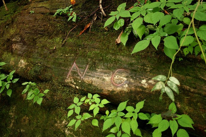
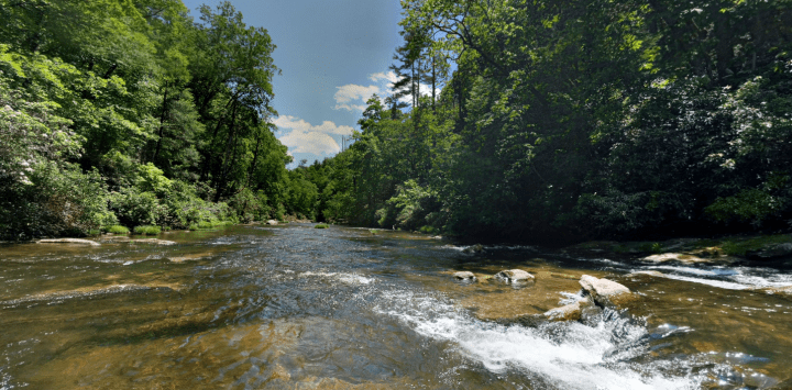
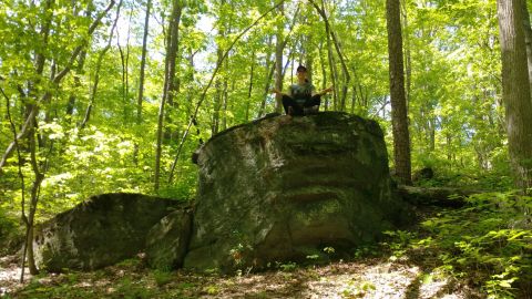
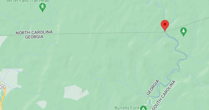
The independent surveyor concluded the commission's findings were correct and that the Orphan Strip was, indeed, inside the North Carolina border. That surveyor, named Andrew Ellicott, is the person who laid the cornerstone of the boundary which is now called Ellicott's Rock seen in the photo above with a chiseled NC traced in red chalk.
There are rumors, of course, that the old Hatfield and McCoy dispute was actually over a pig. Whether you believe it was over a pig or land, it remains one of the bloodiest family disputes in America. We’re glad North Carolina’s own Hatfield and McCoy dispute, called the Walton Wars, was settled relatively quickly before it escalated any further out of control.
OnlyInYourState may earn compensation through affiliate links in this article. As an Amazon Associate, we earn from qualifying purchases.


