
It's Impossible Not To Love This Breathtaking Wildflower Trail In Nevada

Natalie Faulk
Author
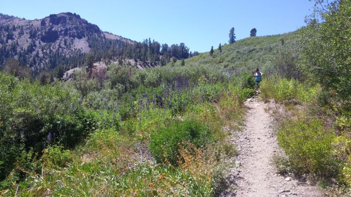
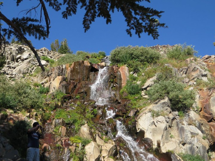
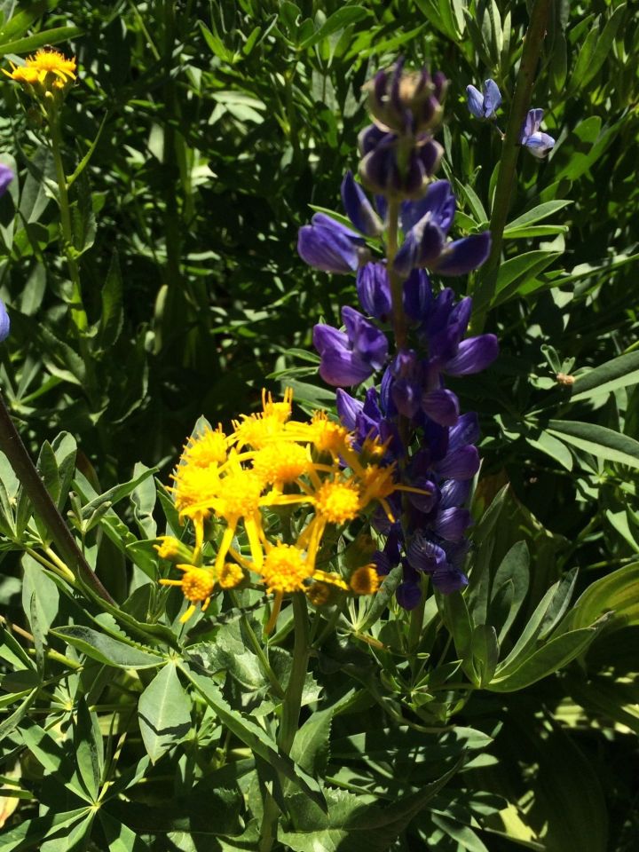
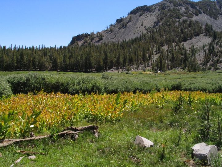
At 10,776 feet, Mt. Rose is the second tallest peak in the Tahoe Basin and part of the stunning Lake Tahoe skyline. The Mt. Rose Trail is a relatively strenuous 10.4-mile round-trip hike to the Mt. Rose summit that is perfect for peak-baggers; however, wildflower enthusiasts and photographers will love this breathtaking wildflower trail as well. Take a look.


Related Stories
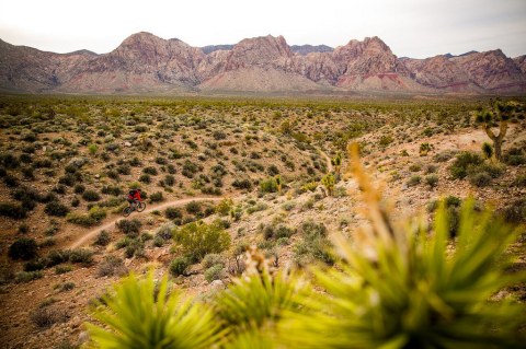
The Gorgeous Collection Of Scenic Bike Trails In Nevada You Have To Take
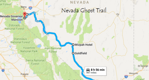
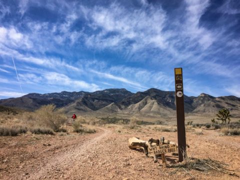
This Ghost Trail Through Nevada Will Chill You To The Bone
You Must Add This Stunning And Historical Nevada Trail To Your Bucket List


The Mt. Rose Summit Trailhead is located on Nevada Highway 431 approximately eight miles east of Incline Village. While there are no user fees, please observe the “leave no trace” principle to keep the area pristine for others.
Have you had the pleasure of hiking this breathtaking wildflower trail during the summer? Please share your comments and photos (if any) below.
OnlyInYourState may earn compensation through affiliate links in this article. As an Amazon Associate, we earn from qualifying purchases.