
Visit The Northernmost Point Of Lake Michigan For An Unforgettable Experience
×

Sophie Boudreau
Author
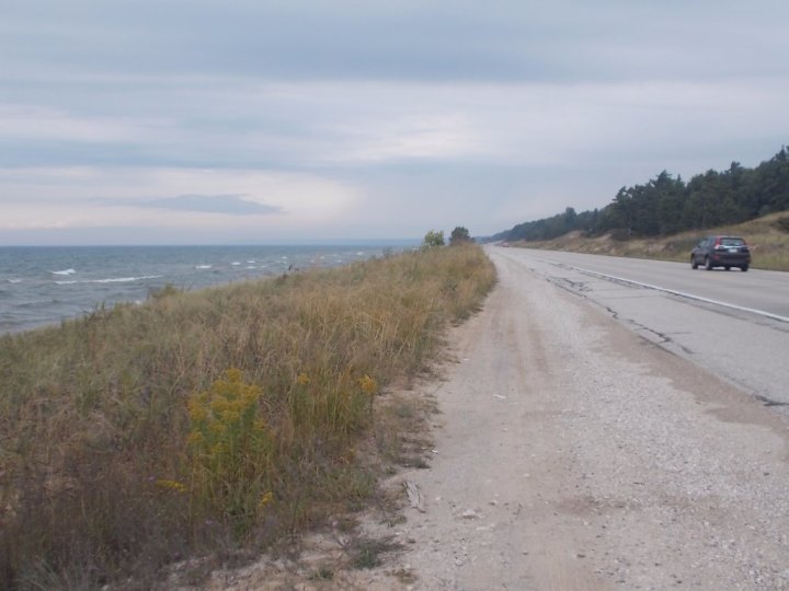
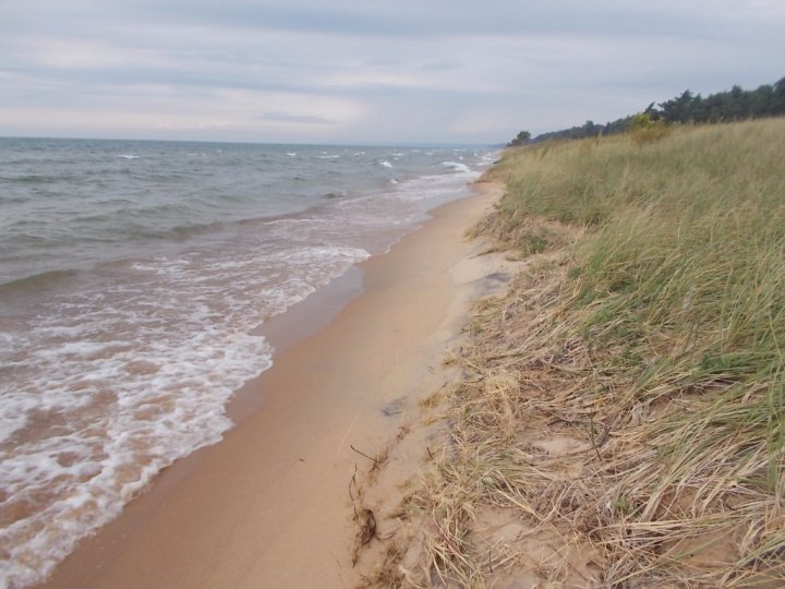
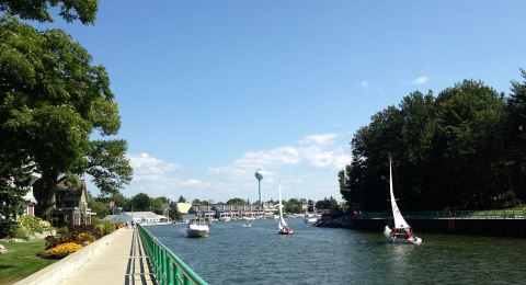
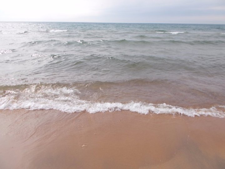
The Great Lakes region overflows with fascinating history. From shipwrecks to borderlines, there’s plenty to be learned about our beautiful bodies of water and the land that surrounds them. When you’re ready to get up close and personal with one intriguing facet of Great Lakes trivia, make your way to this spot.

Advertisement
Advertisement
Related Stories

The Humble Riverside Pub In Michigan That Will Welcome You Like Family
Visit The Best Beach Bar In Michigan Where It Always Feels Like You're On Summer Vacation
This Village By The Lake In Michigan Is A Magical Place To Spend A Long Weekend
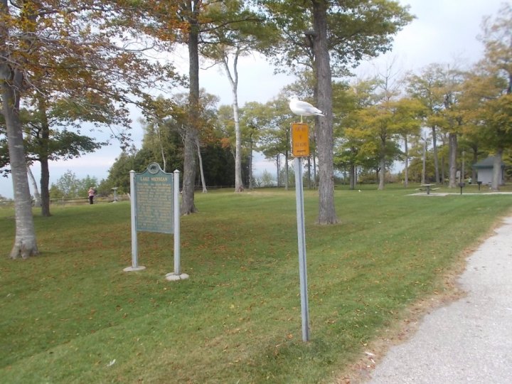


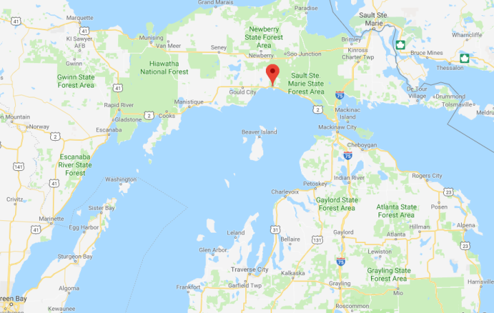
Have you explored this spot in Michigan’s Upper Peninsula? Do you have any other favorite historical areas in the Great Lakes State? Be sure to share your suggestions with us in the comment section below!
OnlyInYourState may earn compensation through affiliate links in this article. As an Amazon Associate, we earn from qualifying purchases.