
Hike Into The Clouds On The Appalachian Trail In Massachusetts' Mount Greylock State Reservation

Melissa Mahoney
Author
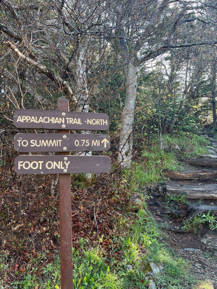
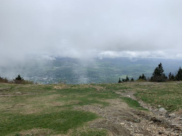
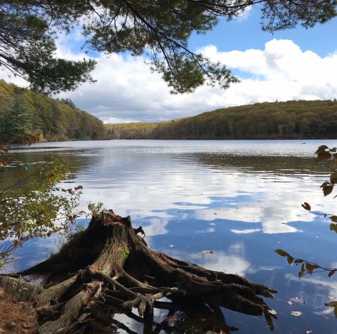
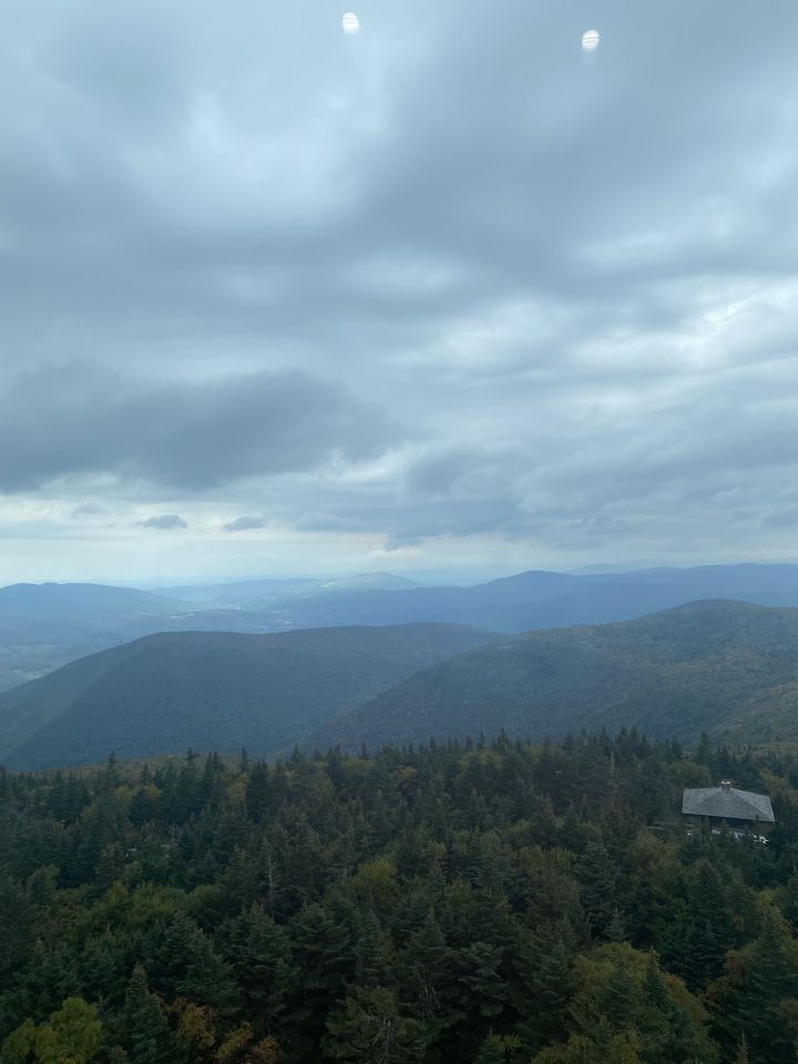
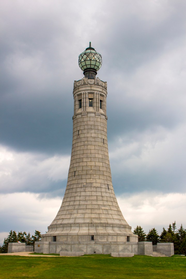
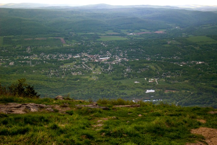
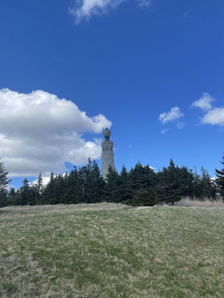
We all know you can get see spectacular panoramic views from atop a mountain. But, perhaps, there’s no place better than at the summit of Mount Greylock where you can truly hike into the clouds in Massachusetts. Ready for your next hiking adventure? Read on to find out more.

Related Stories
The Statewide Midstate Trail Is A Hike You Can Take From Nearly Any Corner Of Massachusetts
Take A Paved Loop Trail Around This Massachusetts Pond For A Peaceful Adventure
This Refreshing Massachusetts Hike Will Lead You Straight To A Beautiful Swimming Hole
Ready to take a hike into the clouds in Massachusetts? If you’ve hiked (or even driven) to the summit of Mount Greylock, please tell us all about your experience in the comments. For more information about Mount Greylock State Reservation, visit the Mass.gov website.
If you enjoy exploring the natural beauty of the state on a trail, check out these unique hikes In Massachusetts.
OnlyInYourState may earn compensation through affiliate links in this article. As an Amazon Associate, we earn from qualifying purchases.