10 Photos That Show How Much Boston Has Changed... And How Much It Hasn't
Revisit places you may know in current day Boston and see how they appeared many decades earlier. Some places are easy to identify, while others have altered so much that they’re almost beyond recognition. These 10 photos span the years and provide glimpses of the ways in which Boston has both evolved and endured over time.
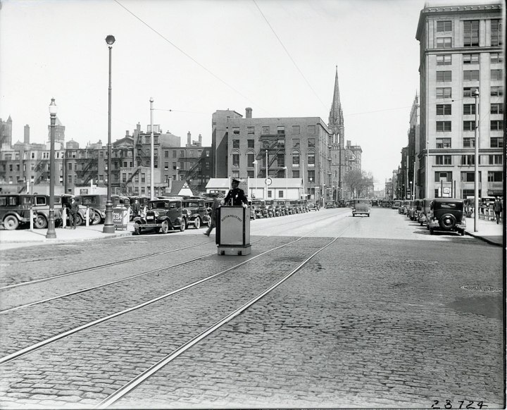
Today, the area to the left of the shot has been filled in with buildings.
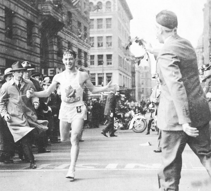
So that hasn't changed. Here, winner of the 44th Boston Marathon, Gérard Côté, runs to victory. The French-Canadian won four times during this decade. His time in 1940 was 2:28:28.
Advertisement
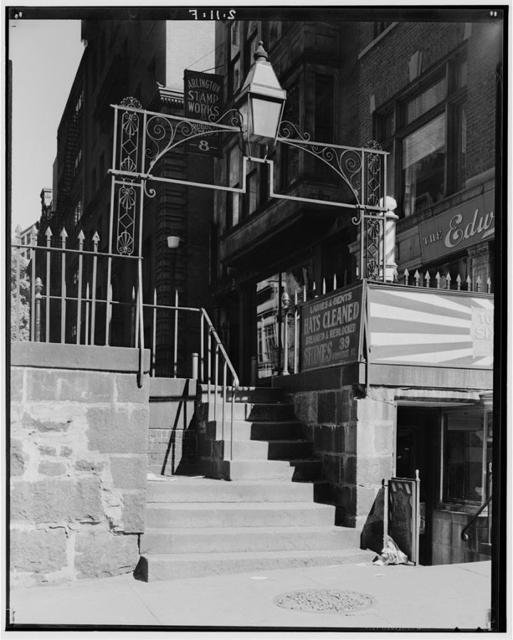
This image of Bosworth Street and Providence Street was captured in 1934, when people owned hats that actually required specialized cleaning - according to the sign in the shot. Can't imagine taking my collection of beanies and ball caps to the dry cleaners today!
Advertisement
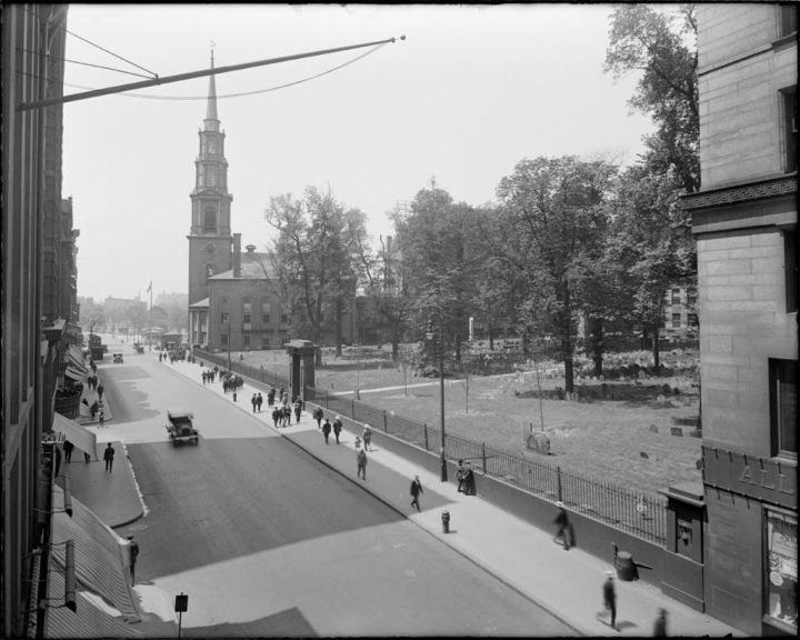
Although you don't expect major landmarks to change much, this spot is almost identical today. However, in contemporary Boston, this is now a one-way street and there is soooo much more traffic.
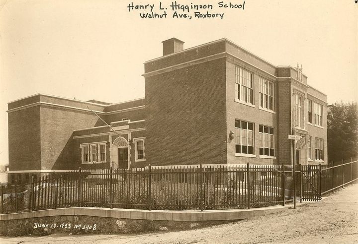
But the surrounding roads have since been paved.
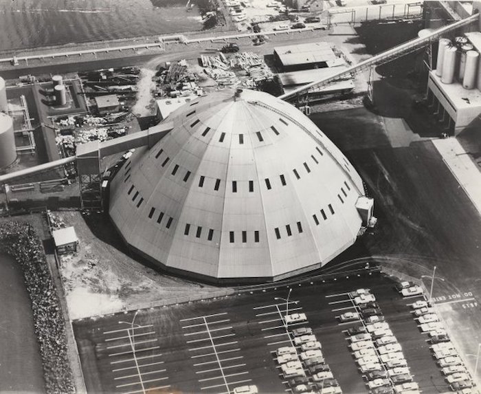
However, this funky domed structure was actually just part of the Domino Sugar refinery in Charlestown. The dome was larger than a football field and reached 100 feet in height.
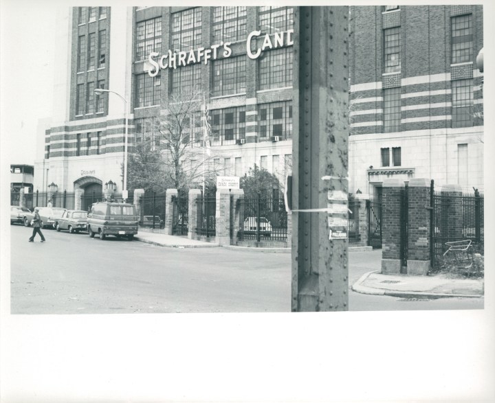
Although the building still stands, it was converted into Schrafft’s City Center complex during the 1980s and mostly contains office space.
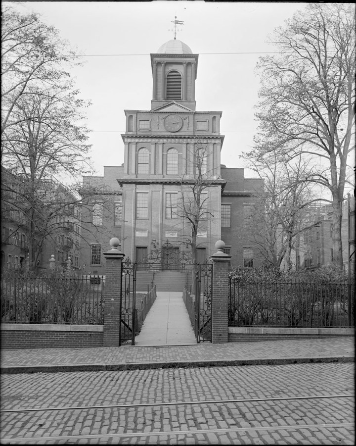
This is what it looked like in 1920... (and today).
Advertisement
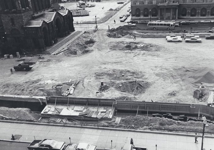
Prior to 1883, Copley Square was called Art Square. This shot shows the renovation work that took place in the 1960s after Huntington Avenue was closed. The result is the public space we all enjoy today.
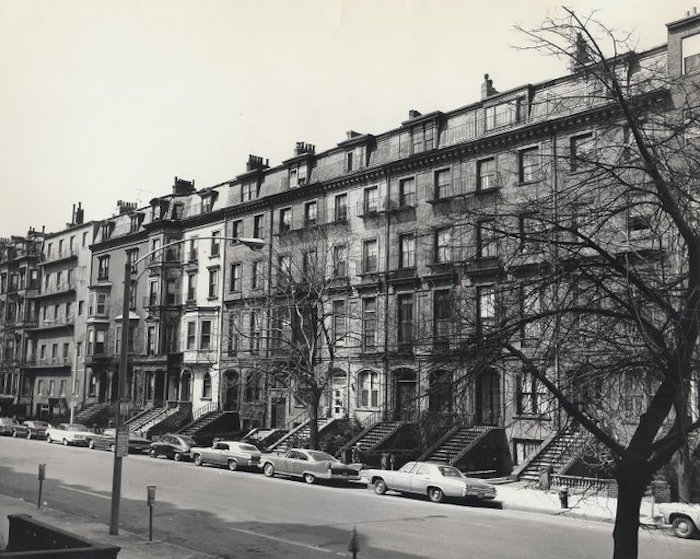
This image of Beacon Street depicts the section between Clarendon and Dartmouth Streets in 1967.
Did any of these photos surprise you? If you’re interested in Boston’s history, you should also view these rare images captured during the Great Depression, and some then and now photos depicting the same place in different years.
OnlyInYourState may earn compensation through affiliate links in this article. As an Amazon Associate, we earn from qualifying purchases.


