We know that Boston’s architecture is appealing – especially its skyline. However, the city acquires a magical kind of beauty when viewed from above. An aerial perspective also helps us to better understand Boston, its neighborhoods, and how everything fits together. The more you look at these 15 aerial photographs, the more unexpected details emerge – they’re truly mesmerizing.
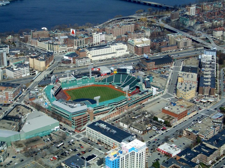
1. This shot manages to capture two beloved symbols of Boston: Fenway Park and the Citgo sign.
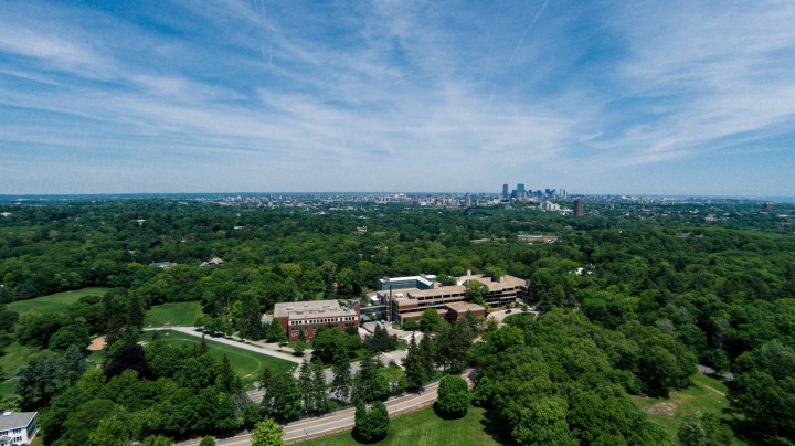
7. This image was captured by a drone, above Larz Anderson Park in Brookline. The land used to belong to one large estate known as "Windy Top." The views from the park’s hill are great, but those from the air are even better
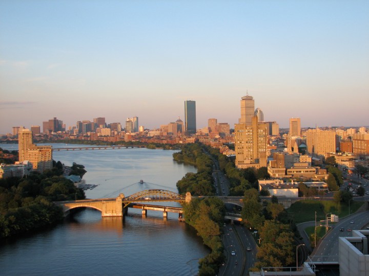
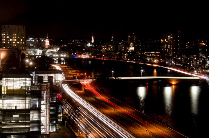
8. In the foreground, the BU Bridge, which was built in 1928, steals your attention. Is anyone else surprised by the lack of traffic on Storrow Drive?!
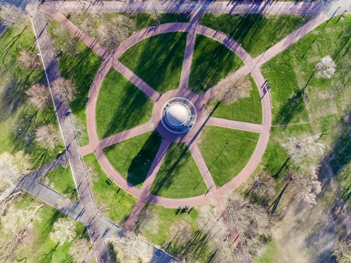
11. The Parkman Bandstand looks totally different when viewed from an aerial point of view. This perspective also highlights the geometric patterns formed by the paths on the Common.
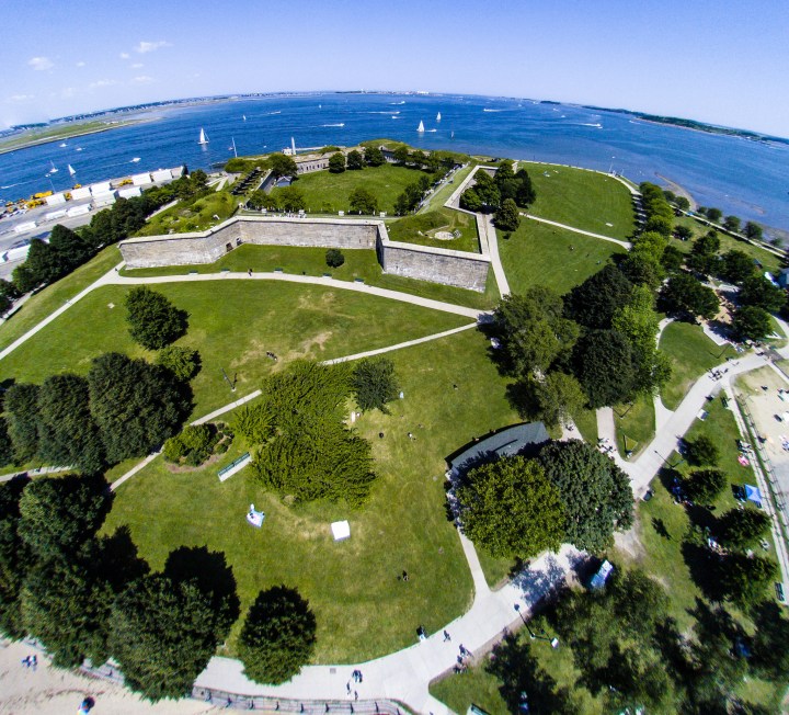
13. It’s easy to forget that, at one point, Fort Independence wasn’t joined to the mainland. Built in 1801, the fort is an interesting and scenic place to explore today.