
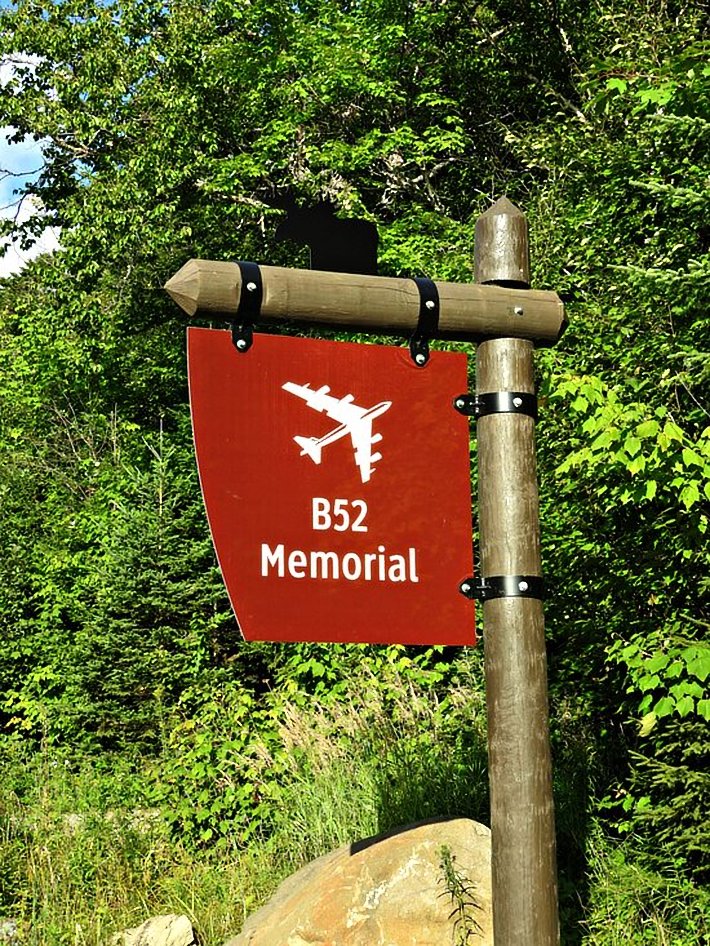
The Unique Hike In Maine That Leads You To Plane Wreckage From 1963

Michelle
Author
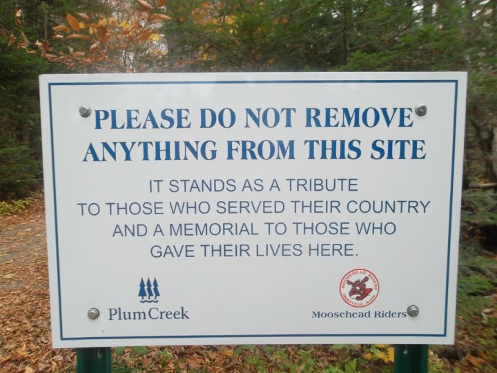
We hike in Maine to find nature. We hike to find peace. And we hike to get a little bit closer to the state that we love. Throughout Vacationland, you’ll find routes that bring you to the salty oceans, some heading towards serene lakes and others under trees that tower overhead. We’re fortunate to spend time in a place that allows us to choose from so many natural experiences. But, there’s one hike that brings us nearer to a piece of Maine’s history. This hike to plane wreckage in Maine will remind you of all that came before.


Flights like these were fairly routine on the West Coast, but this was the first time they’d be using terrain-following radar on the East Coast of the country.


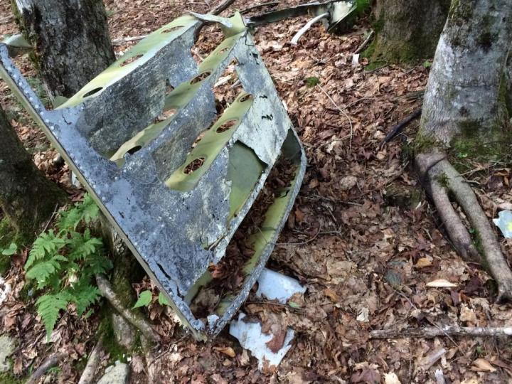
As the nose of the plane pointed down towards the ground and any hope of correcting it disappeared, the fate of the plane became clear. The pilot gave orders for all crew to abandon it.
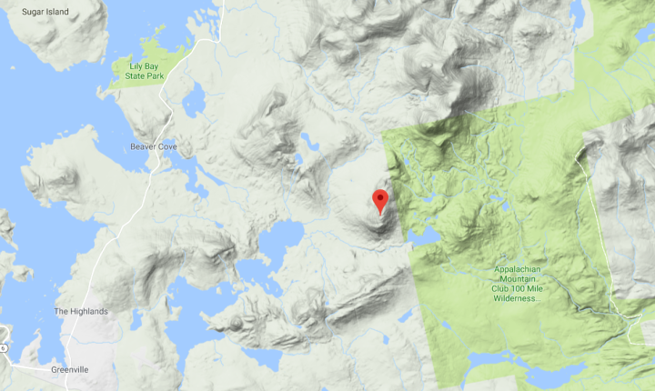
The navigator, pilot and co-pilot all ejected themselves, but six crew members didn't have time to escape before crashing on the west side of Elephant Mountain around 3pm.
Related Stories

You'll Never Forget A Hike Through These Maine Caves

This Easy Fall Hike In Maine Is Under 2 Miles And You'll Love Every Step You Take

The Awesome Hike That Will Take You To The Most Spectacular Fall Foliage In Maine

From here head less than two mile and stay right when the road veers. In about 4 miles, stay right at the fork in the road. About 5.5 miles on, you'll come to a small parking lot on the left. The trail begins here.


Believe it of not, Maine actually has more than one piece of plane-related history. This plane crash in 1944 happened in southern Maine and it’s one of the worst aviation disasters to take place in the state.
OnlyInYourState may earn compensation through affiliate links in this article. As an Amazon Associate, we earn from qualifying purchases.