There's A Hike In Maine That Leads You Straight To An Abandoned B-52 Crash
By Michelle|Published June 04, 2018
×
Michelle
Author
Michelle's life is a colorful map of exploration and adventure. From the iconic streets of New York to the sunny shores of Florida, the jagged coast of Maine to the rugged terrain of Montana, she's been fortunate to call some of America's most beautiful states home. Beyond the U.S., Michelle's wanderlust has taken her on a motorcycle journey through India, led her to teach English in Hanoi, and saw her studying Spanish in Guatemala. Michelle graduated with a communications degree from the S. I. Newhouse School of Public Communications at Syracuse University and in addition to a career in advertising has worked with OnlyInYourState since 2016, where her love for travel and storytelling converges. Alongside writing and exploring, Michelle finds joy in photography, staying active, and time with her family.
For questions, comments and inquiries please email: mstarin@onlyinyourstate.com.
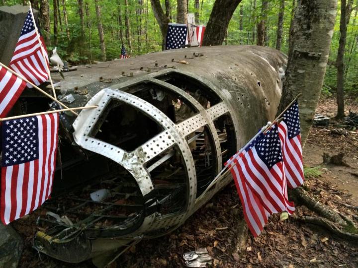
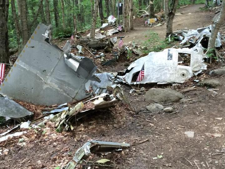
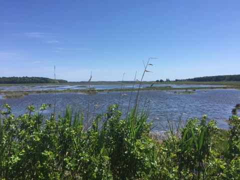
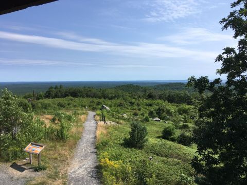
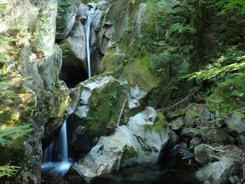
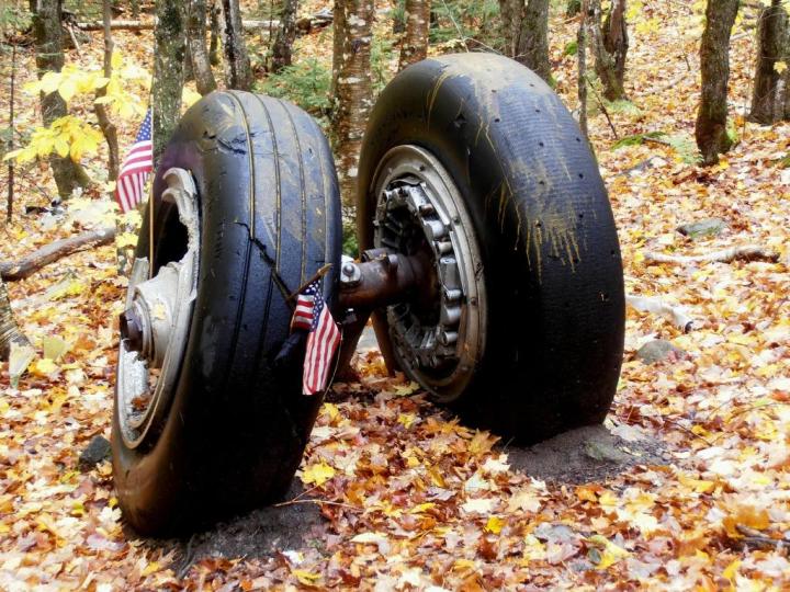
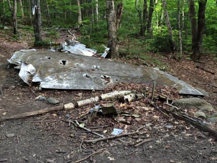
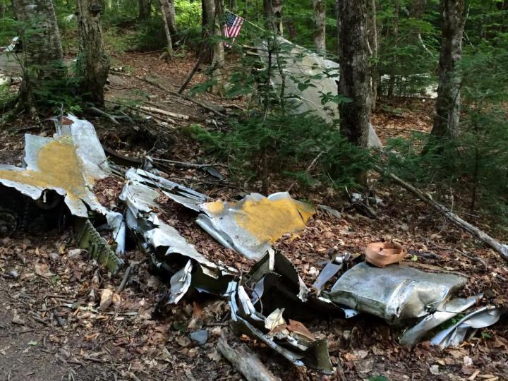
There are a number of hikes in Maine leading straight to the most beautiful places in the state. From views high above the treetops to those that go for miles across the Atlantic Ocean. While we love these hikes and recommend a ton of them, we also love the ones that lead to history. You won’t find quintessential vistas or a cool, rickety lobster shack. Instead, you’ll find a B-52 crash site in Maine that lies at the end of an easy hike. With the ability to pay homage to those who worked on behalf of America’s freedom, we think you’ll find that this is a trip worth taking.
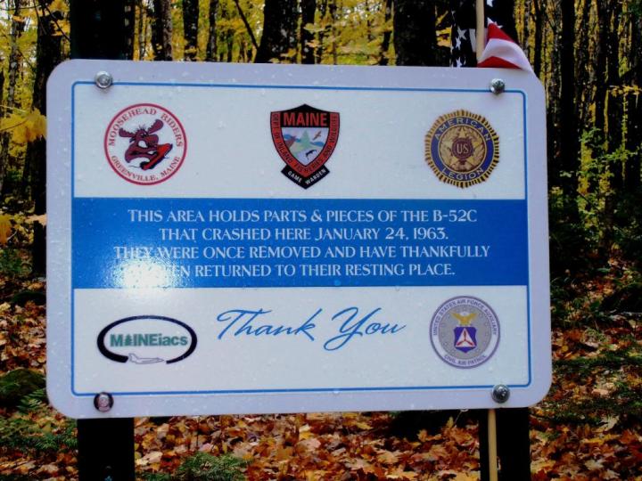
Elephant Mountain can be found in Piscataquis County, east of Moosehead Lake and just six miles from Greenville.
The crew was in the midst of a training mission, officially referred to as a "Terrain Avoidance Flight."
The mission was intended to practice ways of getting through Advanced Capability Radar without being detected by Soviets during the Cold War.
These types of flights had been made successfully on the West Coast, but this was the first of it's type to use terrain-following radar on the East Coast.
Advertisement
The plane took off with two crews from Westover Air Force Base in Massachusetts and two instructors based in New Mexico.
The navigator, pilot and co-pilot all ejected themselves, but the six crew members in the lower deck didn't have time to find their way out before the plane crashed on the west side of Elephant Mountain just before 3pm.
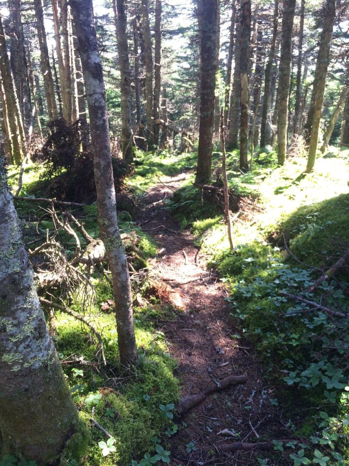
Head north on Lily Bay Road for just under 7 miles, where you'll make a right onto Prong Pond Road. From here head less than two mile and stay right when the road veers. In about 4 miles, stay right at the fork in the road. About 5.5 miles on, you'll come to a small parking lot on the left. The trail begins here.
Advertisement
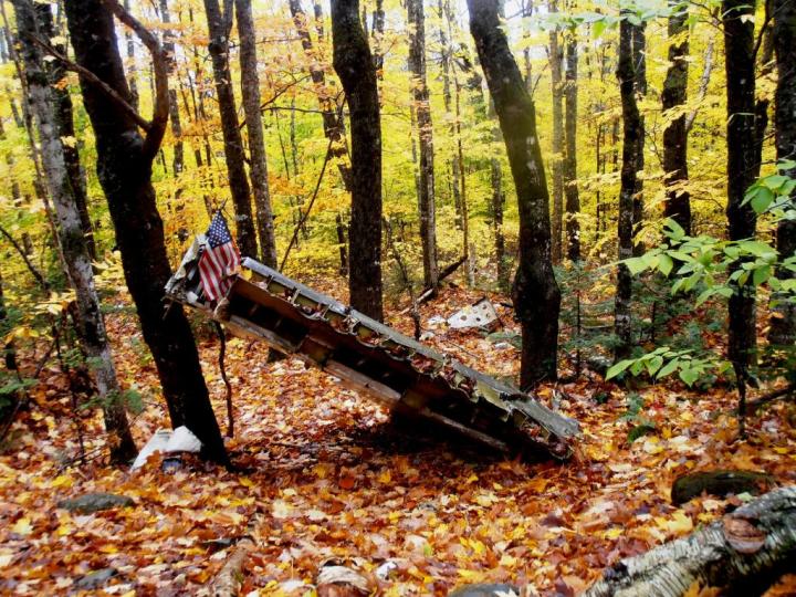
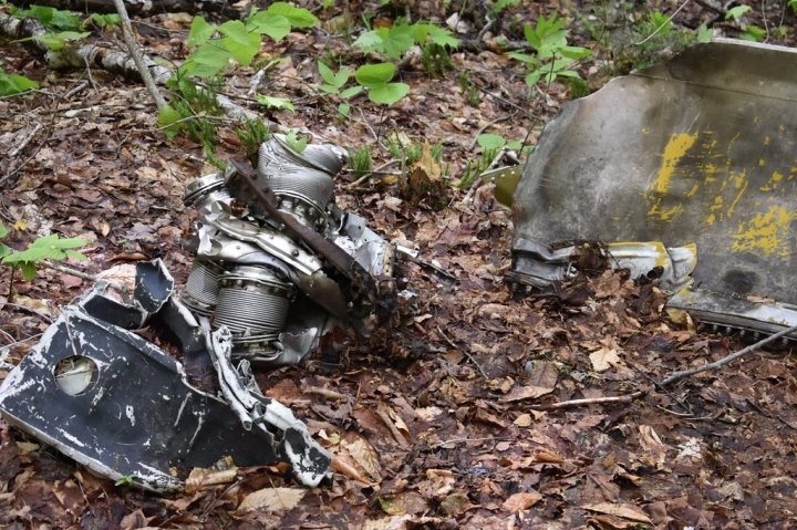
The wreckage is strewn around the area, so plan to spend some time walking around to see everything.
For more Maine history, check out the oldest place you can possibly visit. This town everything you need – restaurants, bars and local shops – to keep busy all day!
OnlyInYourState may earn compensation through affiliate links in this article. As an Amazon Associate, we earn from qualifying purchases.