
The Whittleton Trail In Natural Bridge State Resort Park Is A Short-And-Sweet Streamside Hike In Kentucky
×

Sarah McCosham
Author
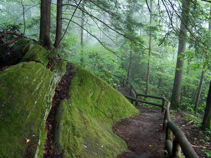
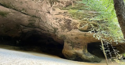
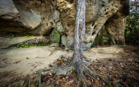
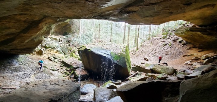
Throw a rock in Kentucky, and chances are you’ll hit a rock formation. Kentucky is full of amazing rock formations that capture the imaginations of all who experience them out on the trails. Natural Bridge State Resort Park is a treasure trove of fascinating formations and scenic trails; these two things combine along The Whittleton Trail, a short-and-sweet streamside hike in Kentucky.


Advertisement

Advertisement
Related Stories
The Marvelous 8.3-Mile Trail In Kentucky Leads Adventurers To A Little-Known Sand Cave
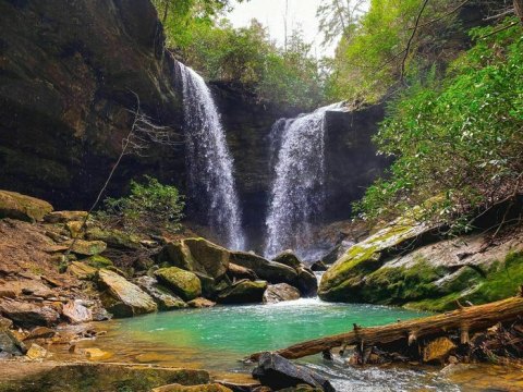
Double Your Waterfall Chasing Pleasure At Pine Island Double Falls, A Double Waterfall In Kentucky
There Are More Arches Than There Are Miles Along This Beautiful Hiking Trail In Kentucky


Advertisement
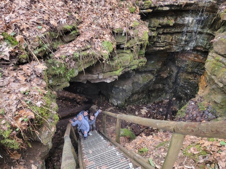
Have you tackled this streamside hike in Kentucky before? What a delightful little day trek at Natural Bridge State Resort Park!
OnlyInYourState may earn compensation through affiliate links in this article. As an Amazon Associate, we earn from qualifying purchases.
Featured Addresses
Whittleton Arch Trail #216, Tunnel Ridge Rd, Pine Ridge, KY 41360, USA