Non-Stop Snow And Cold Have Been Hitting Indiana – And There’s More Cold Coming
By Tori Jane|Published December 26, 2022
×
Tori Jane
Author
Tori Jane is a storm chaser, writer, photographer, and the village idiot - in that order. When she's not out and about dancing with the meanest storms on planet Earth for funsies she can be found wandering, shooting landscapes, writing, editing photos, and otherwise up to no good. Legend has it that she can also be occasionally spotted typing up short bios in the third person, but those rumors are unsubstantiated.
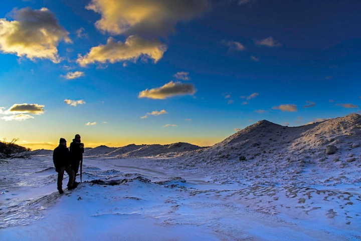
It’s definitely no secret that the last few days have been… kind of cold. Okay, maybe a lot cold. In fact, record-setting cold and intense snow have been rocking most of the United States for a couple of days now, and the frigid temperatures are not likely to let up until next week. Every so often there’s an amazing historic winter storm in Indiana, and there’s no doubt now that this one – the one being called “Winter Storm Elliott” – is one for the books. Let’s take a look at some of the numbers (so far):
Winter Storm Elliott was forecast to be impressive, but it still managed to exceed expectations (and blow people's minds all over the internet).
Before long, Elliott had strengthened into an incredibly powerful "bomb cyclone", which is an area of low pressure that intensifies very rapidly, bringing with it high winds, heavy snow, and plenty of pure havoc to go around.
They aren't exactly common - but they aren't really rare, either.
Unfortunately, bomb cyclones - and the process for which they're named known as "bombogenesis" (which is when pressure drops no less than 24 millibars in 24 hours) - are not at all unheard of, and every so often, things like what's going on right now occur.
Advertisement
Luckily for us here in the Hoosier State, we seem to have been spared the worst of it in terms of snowfall.
Snowfall totals have been highest in towns like South Bend (which is no surprise, given that it's the snowiest town in Indiana), which has seen 4.5 inches, Porter, which has seen 5.4 inches, and La Porte, which has seen an impressive 8.7 inches of the fluffy white stuff.
But it's not the snowfall that's made this bomb cyclone so notable for the state of Indiana - oh, no. That title belongs to the frigid temperatures our little state has been seeing as a direct result of the system moving through.
During the worst of this intense storm, many parts of Indiana saw temperatures (including wind chill) plunge to as low as -35 degrees, and some stations reported chills as low as -40 degrees.
Numerous locations around most of the continental US saw incredibly dramatic, rapid temperature changes in a short period of time as the cyclone moved through.
On Thursday, December 22nd, 2022, Indianapolis saw temperatures plunge from 41 degrees down to -1 in under 24 hours. Interestingly, this was not record-setting; that record was set in January of 1916, when temperatures plunged -58 degrees within 24 hours. No thanks, this was wild enough. We're good for the rest of forever, okay, nature?
Temperatures are expected to continue to be frigid - well below freezing - until at least Wednesday, December 28th.
In the meantime, we suppose this is a great opportunity to curl up indoors with a good book and/or all your favorite bingeable TV shows. See, there's always a silver lining of some sort... even when it's so cold outside that that silver's probably gonna be frozen solid in mere minutes.
Does this winter storm in Indiana amaze you as much as it does us? We find these episodes to be endlessly fascinating – nature is amazing. For more jaw-dropping tales of Indiana’s most brutal winters, you might want to check out the five worst winter storms in Indiana history.
OnlyInYourState may earn compensation through affiliate links in this article. As an Amazon Associate, we earn from qualifying purchases.