There's Something Incredible About These 10 Rivers In Illinois
There’s nothing quite like a river to reaffirm your small place in the world. Strong and mighty, rivers have the power, over time, to erode rock. In fact, rivers give definition to the borders of our state. Illinois is full of some big rivers. Here are ten of the most notable.
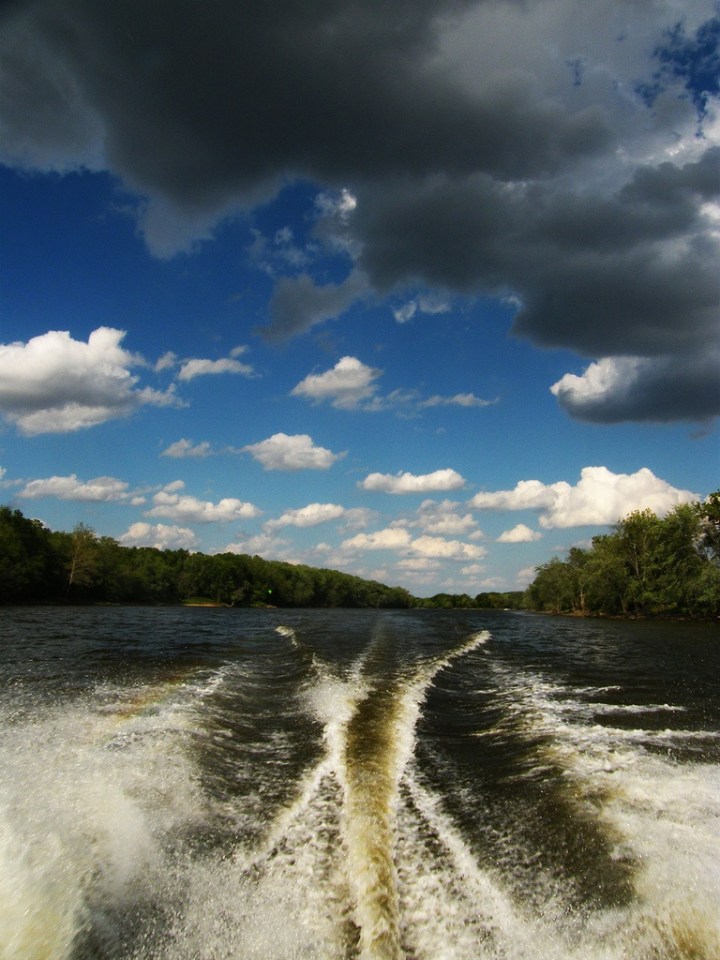
The Illinois River is around 270 miles long. Its source is the confluence of the Kankakee and Des Plaines river. You can get some good shots of it throughout Illinois, but some of the better shots are seen near Starved Rock State Park.
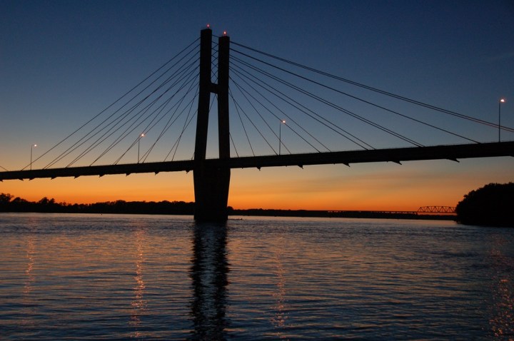
Everyone knows about the mighty Mississippi (and even that elementary school trick about how to spell it). The Mississippi River forms the Western border of our state. In Illinois, you can witness both the Upper and Middle Mississippi River. The Middle Mississippi begins at St. Louis and ends in Cairo, Illinois, the location of its confluence with the Ohio River.
Advertisement
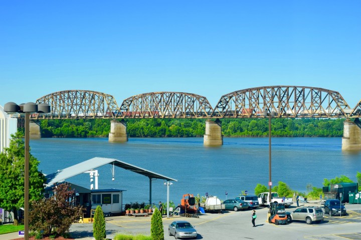
The Ohio River starts not in Ohio but actually in Pennsylvania, making its way down Ohio, Indiana, and into Illinois, where it stops in Cairo. It's a very scenic river, and one of the better places to check it out is over at Cave-in-Rock. There are plenty of places to stop for breathtaking views.
Advertisement
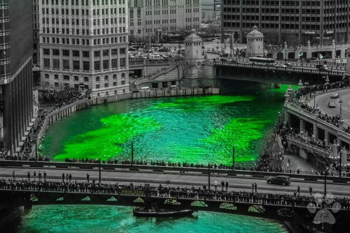
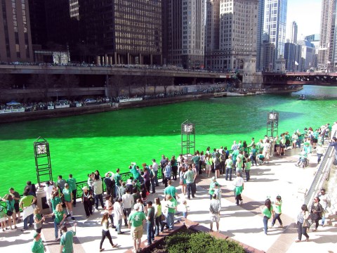
Dyed green for St. Patrick's Day each year, the Chicago River has a distinctive green color. Its direction was actually reversed for sanitation concerns, a huge engineering feat that was a breakthrough. It's not the biggest river, at only 156 miles, but it's definitely the most "urban."
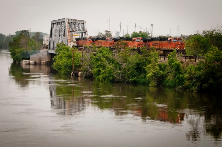
The Des Plaines River runs from Kenosha, Wisconsin through Northern Illinois. It is a slow-moving river that was frequented by Native Americans. It is a distinctive river, as it is surrounded by suburban homes, prairies, urban areas, and industry.
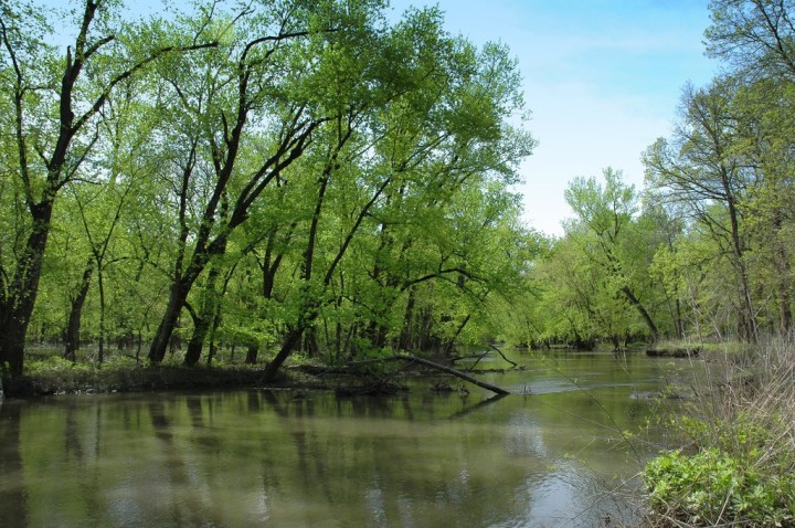
The Sangmon River is 246 miles, beginning in Southern McLean County. It was a very important river in the settlement of Illinois, and is actually connected to Abraham Lincoln because his family lived near the river at one point. The river gets its name from a Pottawatomie word that means "where there is plenty to eat."
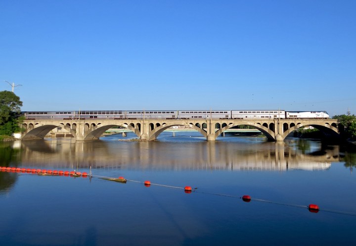
The Kankakee River is actually a tributary of the Illinois River, measuring in at around 133 miles. It was formed about 16,000 years ago when a glacial lake resulted from meltwater from the Wisconsin glaciation created the bed of the Kankakee River. These days, people love to get out and canoe and fish on it.
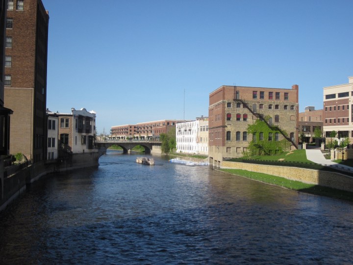
The Fox River is magnificent, running through both Illinois and Wisconsin. It enters Illinois in a gorgeous area of interconnected lakes known as the Chain O'Lakes. It flows southward for 118 miles until it meets up with the Illinois River in the town of Ottawa.
Advertisement
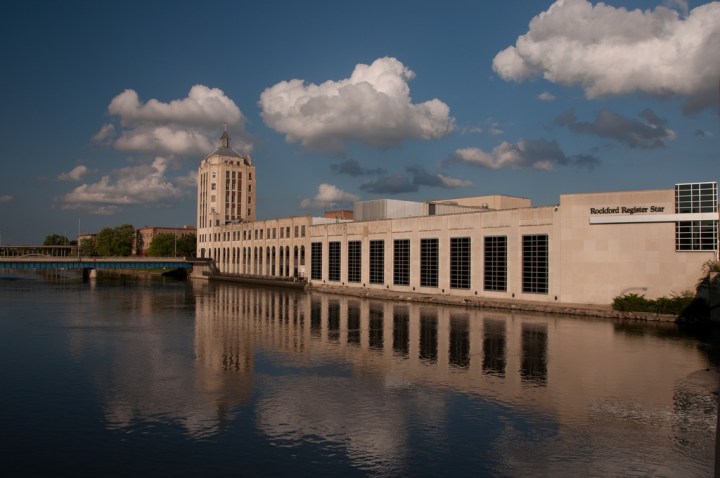
The Rock River is a tributary of the Mississippi River that flows through Illinois and Wisconsin, from Horicon, Wisconsin to Rock Island (where it meets with the Mississippi). There are many cities and towns alongside the river. People enjoy water and paddling sports on this river whenever they can.
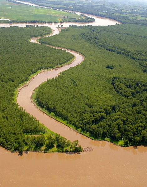
This river is exactly as described: a big muddy mess. It has a mud bottom for most of its length. It is 156 miles long and is located in Southern Illinois. The Big Muddy basin actually contains a significant portion of the planet's coal reserves hidden under its deep mud.
Take any great shots of an Illinois river? Be sure to share them on our Only in Illinois Facebook page!
OnlyInYourState may earn compensation through affiliate links in this article. As an Amazon Associate, we earn from qualifying purchases.


