
You'll Never Guess How These Picturesque Rolling Hills In Idaho Were Made

Emerson
Author
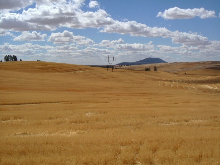
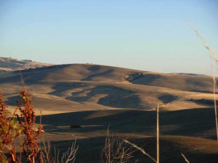
The Palouse is heaven on earth for Idaho photographers. Considered an Idaho “wonder,” the landscape is picture-worthy every single day of the year, at pretty much any time of day. During the spring months, the hills are a lush and beautiful green. During summer and fall, they are a glowing golden color. Not only is the Palouse absolutely beautiful, it is also agriculturally rich and leads the world in production of soft white winter wheat. The Palouse is an absolute must-see for Idahoans, but the coolest thing about these rolling hills is how they were formed.


Related Stories

The Brewery In Idaho That Features A Menu Full Of Unique Food Items
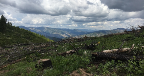
A Peaceful Escape Can Be Found Along This Year-Round Mountain Trail In Idaho
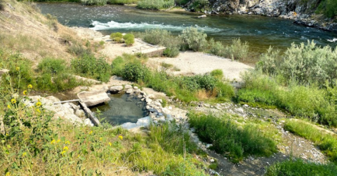
It's An Epic Outdoor Adventure At Hot Springs Campground In Idaho

What do you think? Is there any spot in Idaho more beautiful than the Palouse? Let us know.
For even more incredible natural beauty in Idaho, check out these 7 natural wonders of the Gem State.
OnlyInYourState may earn compensation through affiliate links in this article. As an Amazon Associate, we earn from qualifying purchases.