This Mountainside Switchback Trail In Hawaii Is Just The Adventure You're Looking For
By Megan Shute|Published April 07, 2019
×
Megan Shute
Author
With more than 10 years of experience as a professional writer, Megan holds a degree in Mass Media from her home state of Minnesota. After college, she chose to trade in her winter boots for slippahs and moved to the beautiful island of Oahu, where she has been living for more than five years. She lives on the west side but is constantly taking mini-road trips across the island and visits the neighboring islands whenever she can getaway. She loves hiking, snorkeling, locally-grown coffee, and finding the best acai bowl on Oahu.
There’s no doubt about it: the Hawaiian Islands is easily one of the greatest hiking destinations in the country — and maybe even the world. With miles and miles of trails that ascend mountains, traverse ridgelines, and lead to breathtaking natural beauty, Hawaii is truly a hiker’s paradise. And while we love the islands’ most popular trails as much as the next person, sometimes you need to get away from it all and take the trail less traveled. If you love getting off the beaten path, this forest trail is for you.
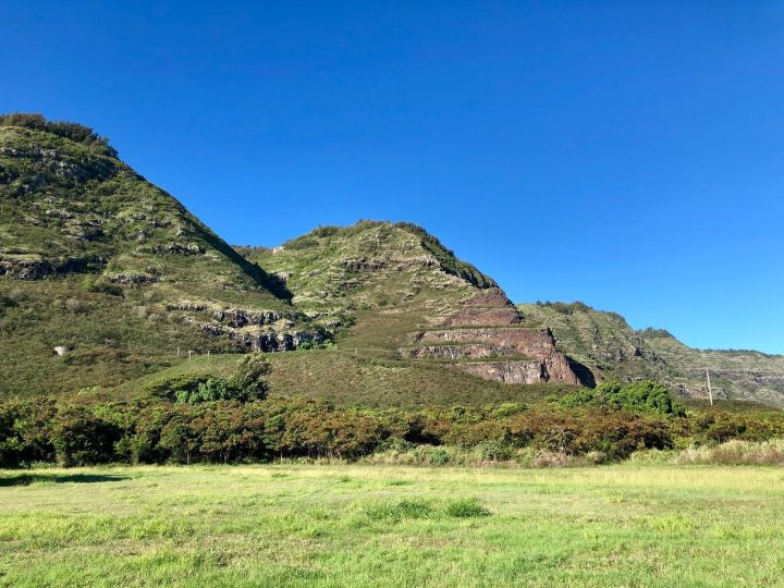
Tucked away on Oahu’s north shore behind Dillingham Airfield, the Kealia Trail leads hikers on an unforgettable journey up the side of a mountain via a series of switchbacks to nearly 2,200 feet above sea level.
The trail is rated as moderate, and though it isn’t extremely steep, it is lengthy and features a steady incline. For nearly the entire hike, you’ll be pushing yourself uphill and feeling the burn. Luckily, there’s always a beautiful view waiting for you to take a few seconds to cool down and have a sip or two of water.
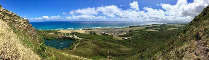
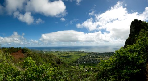
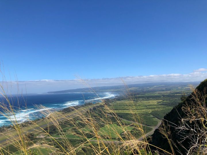
When you make it up the 19 mountainside switchbacks — at approximately the 1.5 mile mark and 1,000 feet in elevation — you will be confronted with a seriously stunning view of Oahu’s north shore, including the vast Pacific Ocean, sheer cliff faces covered in lush greenery, and an old rock quarry that has become a large, man-made lake.
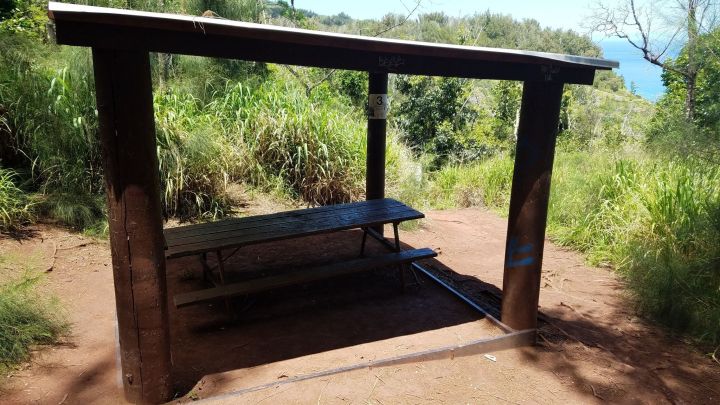
After you’ve made it to the top of the Kealia Trail, which is marked by this picnic structure, you can either turn back or continue hiking along the Kuaokala Access Road. As long as you have enough water and aren’t too worn out, we suggest the longer trail.
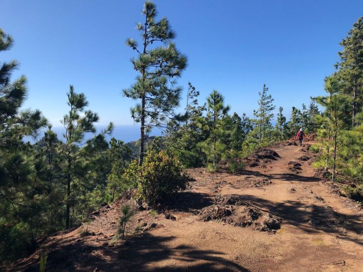
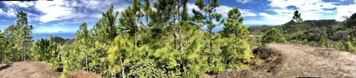
As you continue hiking uphill along this access road into the Waianae Range, you will find a noticeable change in the environment. Forests of pine and eucalyptus trees welcome you to this mountainside paradise sure to enchant you and transport you to a place far, far away from the tropics.
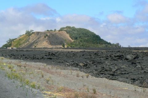
If you follow the trail signs and ridgelines to the very end, you will be rewarded with a view of the vast, verdant Makua Valley, a remote part of Oahu most people will never see up close.
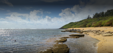
Not only will the entire return trip be downhill, but you'll be inundated with a new, gorgeous view around every turn. We could stand here for hours admiring the waves crashing against the shore.
The Kealia Trailhead is located at the end of Farrington Highway behind Dillingham Airfield. For more information, check out the hike on AllTrails. Have you ever hiked the Kealia Trail? If so, share your experiences and opinions in the comments below. Then, click here to learn about another, much shorter, Oahu forest trail with a phenomenal view.
OnlyInYourState may earn compensation through affiliate links in this article. As an Amazon Associate, we earn from qualifying purchases.