
This Map Of Colorado Will Change Everything You Thought You Knew About The State

Annie
Author
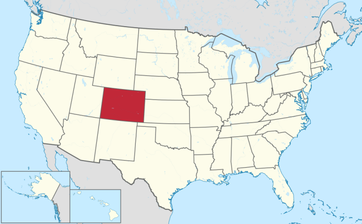
Are you ready to have your mind completely blown and question everything you have ever known up to this point? If so, you have come to the right place, as we have a shocking announcement: Colorado is in fact not a perfect rectangle. Say what?! According to FascinatingMaps.com, who puts together the “most interesting maps, graphs, and geography related stuff from around the globe,” Colorado is not a simple rectangle, but rather hundreds of different sides meshed together:

Related Stories

13 Extremely Weird Things Only People From Colorado Do
14 Ways You Can Always Spot Someone From Colorado... No Matter Where They Are
10 Hills Every Coloradan Is Willing To Die On


You can discover even more interesting maps and statistics by visiting Fascinating Maps’ website. For even more maps of Colorado, click on 5 Maps Of Colorado That Are Just Too Perfect (And Hilarious).
OnlyInYourState may earn compensation through affiliate links in this article. As an Amazon Associate, we earn from qualifying purchases.