Find Out When The Leaves Will Change Color In Arizona With This Interactive Fall Foliage Map
Who’s excited to go leaf-peeping this year? Fall foliage peaks at different times all across Arizona and the interactive map from Smoky Mountains takes the guesswork out of planning a trip. This user-friendly tool lets you see exactly when the leaves will be at their most spectacular this season, no matter where you are or plan to go in the Grand Canyon State.
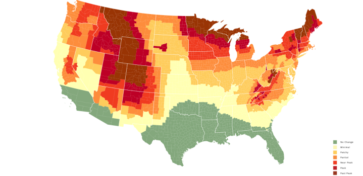
In the bottom-right corner of the map, you'll find a legend that explains what each color means.
Click here to read about a gorgeous scenic drive that loops around the highest mountain in Arizona, Humphrey's Peak.
Advertisement
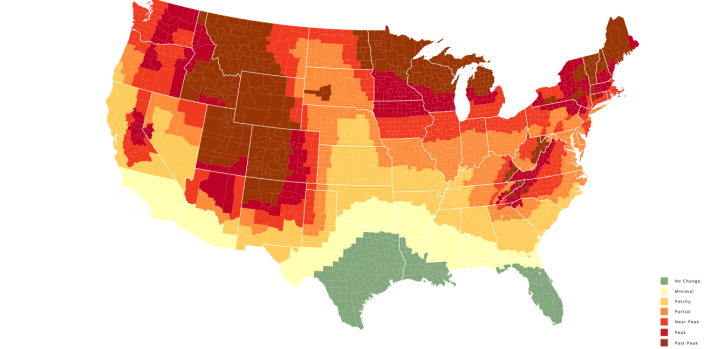
By this time, the very southernmost parts of the state have moved past the "no change" phase, but you still shouldn't expect to see anything too incredible.
Advertisement
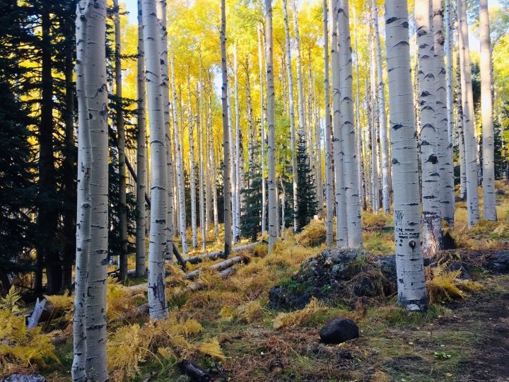
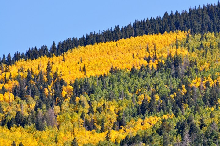
If hiking is your favorite way to take in the brilliant golden leaves, it doesn't get much better than the Aspen Nature Lollipop Trail. At under three miles long, this short-and-sweet woodland adventure is a must during this time of year.
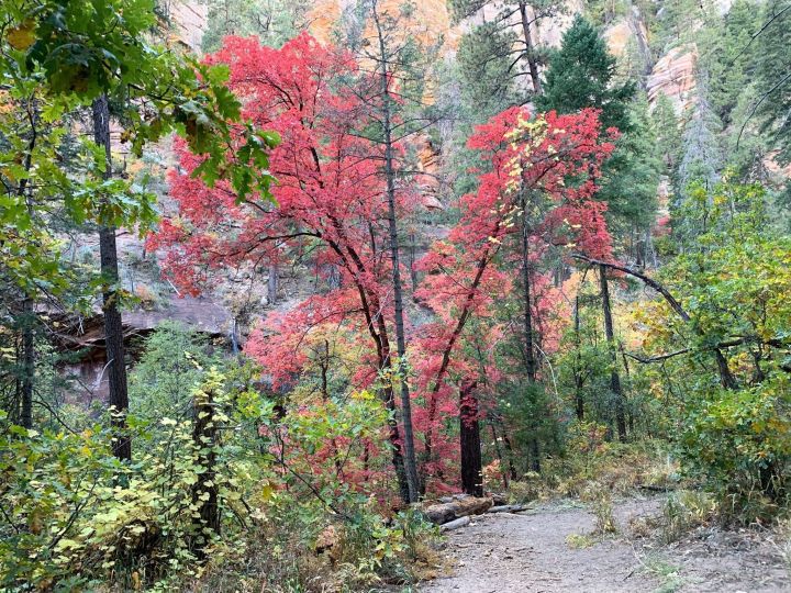
Unlike the Aspens, which only turn yellow (albeit the most eye-popping yellow we've ever seen), the trees on this trail erupt in a mesmerizing display of bright reds and rich ambers, as well.
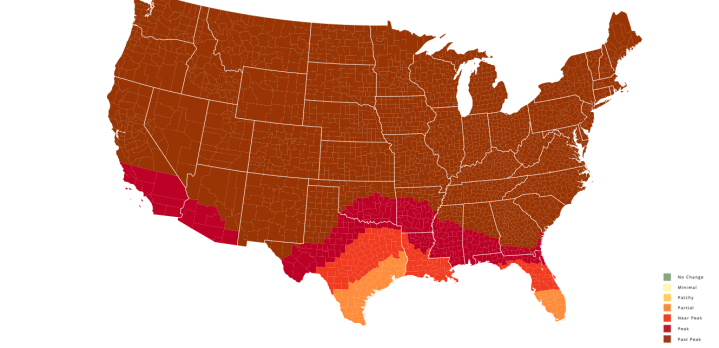
If you don't feel like venturing up north to go leaf-peeping, just wait until the first week or two of November.
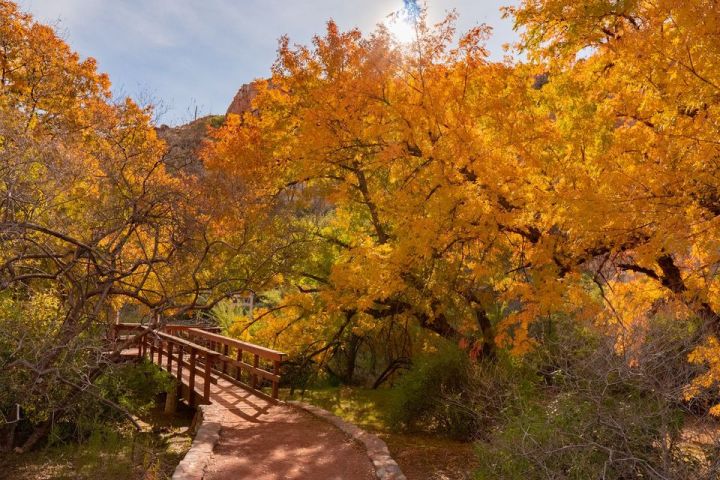
Learn more on their website here.
Are you excited for the leaves to start changing this year? What are your go-to spots to catch a glimpse of the foliage? Let us know, and check out our previous article for a more comprehensive list of breathtaking fall destinations in Arizona.
OnlyInYourState may earn compensation through affiliate links in this article. As an Amazon Associate, we earn from qualifying purchases.
Featured Addresses
Flagstaff, AZ, USA
Sedona, AZ 86336, USA
San Francisco Peaks, Arizona 86001, USA
Boyce Thompson Arboretum, 37615 E Arboretum Way, Superior, AZ 85173, USA


