
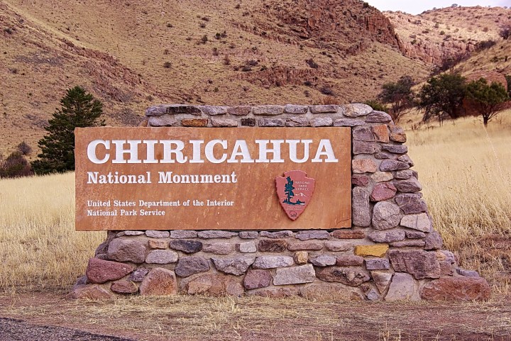
Walk Through 12,000 Acres Of Otherworldly Rock Formations At Arizona's Chiricahua National Monument
×

Katie Lawrence
Author
Unique rock formations abound in Arizona, some more well-known than others. Chiricahua National Monument is one of the least traveled landscapes, but its 12,000 acres of craggy pillars deserve infinitely more recognition.
Many groups have lived and worked here over the years, and now, the vast area sits empty and ready to wow visitors.
Hikes range in length from merely 0.2 to a whopping 10 miles, ensuring all fitness levels can experience the splendor.
Advertisement
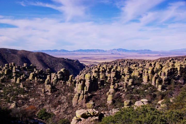
Enjoy panoramic views of Rhyolite Canyon, adjacent valleys, and surrounding mountain peaks. You'll also have easy access to trailheads and a campground to keep the exploration going if desired.
Advertisement
Related Stories
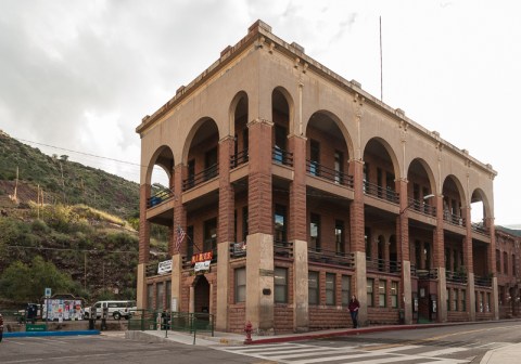
Copper Queen Library In Small-Town Arizona Is Older Than The State Itself
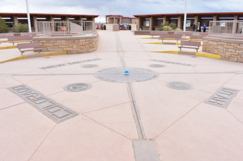
You Can Stand In Four Different States At Once In The Town Of Teec Nos Pos, Arizona

There's A Castle In Arizona That's Also A Library And It's A Bookworm's Happy Place
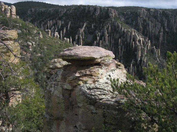
Formed from a cataclysmic volcanic eruption nearly 27 million years ago, the rock formations showcase Mother Nature's truly awesome power. Other features in the park include caves, faults, and ancient lava flow.

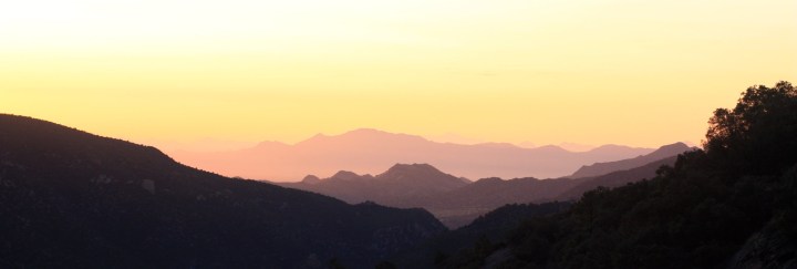
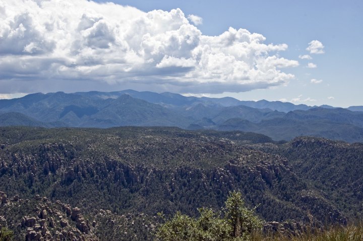
Silhouettes of distant mountains stretch seamlessly across the horizon, creating a picture-perfect scene akin to the most beautiful painting you've ever laid eyes on.
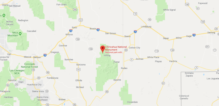
Address: East Bonita Canyon Road, Willcox, AZ 85643
Visit the Chiricahua National Monument website or Facebook page to learn more.
Have you ever been to Chiricahua National Monument? If so, do these pictures do it justice? Let us know your thoughts. Give our previous article a read for another little-known rocky landscape you’ll want to visit.
OnlyInYourState may earn compensation through affiliate links in this article. As an Amazon Associate, we earn from qualifying purchases.
Featured Addresses
Chiricahua National Monument, 12856 East Rhyolite Creek Road, Willcox, AZ 85643, USA