9 Incredible Highways In Arizona That Take You From The Desert To The Forest
With so many beautiful sights to find in Arizona, sometimes it can feel overwhelming deciding how to start exploring all 113,990 square miles. One great way is taking a joy ride on Arizona’s highways. Experience the open road, rugged terrain, and shockingly beautiful landscapes on these nine roads that lead you from the desert into the pines.
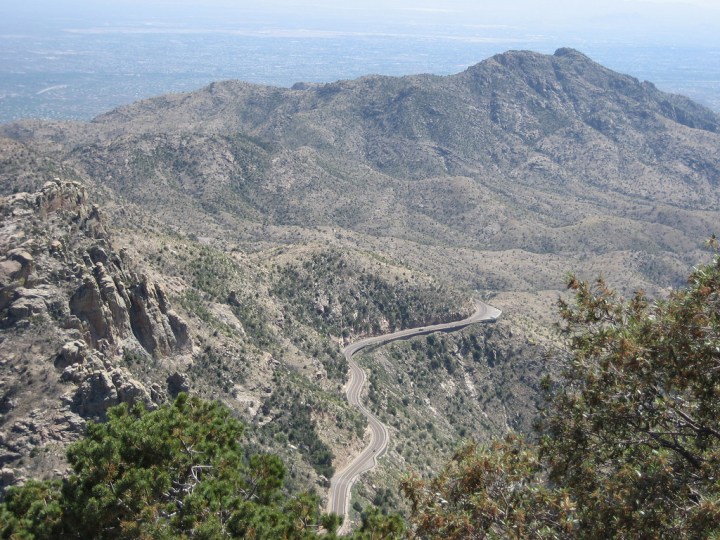
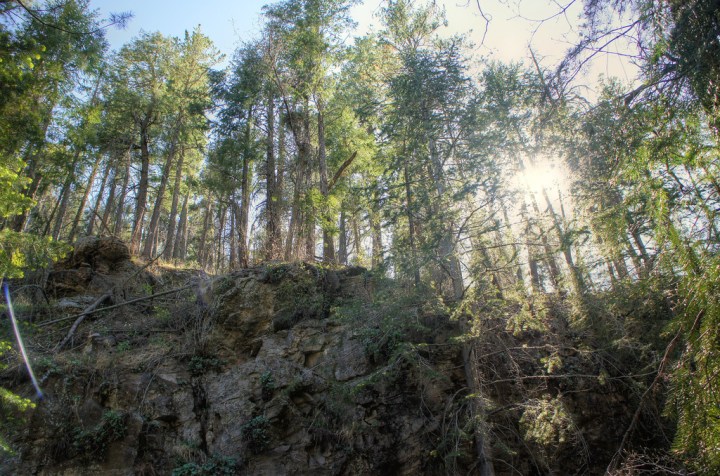
The first drive on this list heads up the Santa Catalina Mountains to Summerhaven near Mount Lemmon. The drive is approximately 25 miles long one-way and is perfect for a quick day trip from the Sonoran Desert into the pines!
Route Map: Google Maps
Route Map: Google Maps
Advertisement
Advertisement
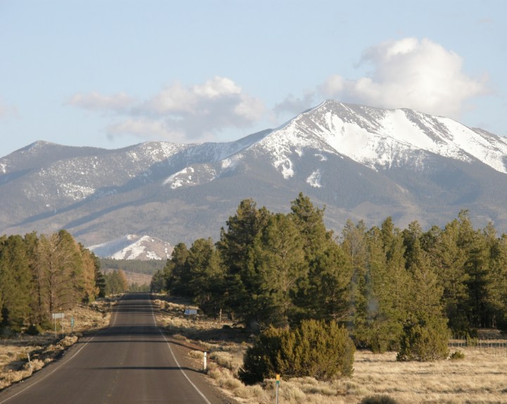
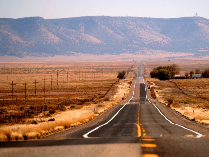
Route 66 is an iconic American highway and you’ll find this to show off some lovely Arizona scenery. This particular route takes you from Kingman’s rocky terrain all the way to the incredibly green Williams and Flagstaff, where you’ll find the largest contiguous ponderosa pine forest in the country.
Route Map: Google Maps
Route Map: Google Maps
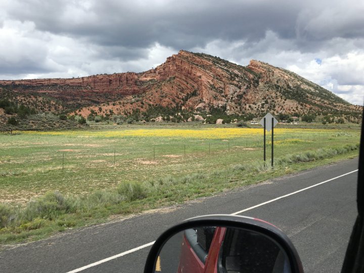
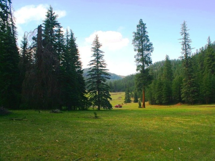
Be prepared to ride some rough roads through this section of the Navajo Nation when the weather is pleasant. This route takes you from Lupton, through Window Rock and the Chuska Mountains before ending near Canyon de Chelly in Chinle.
Route Map: Google Maps
Route Map: Google Maps
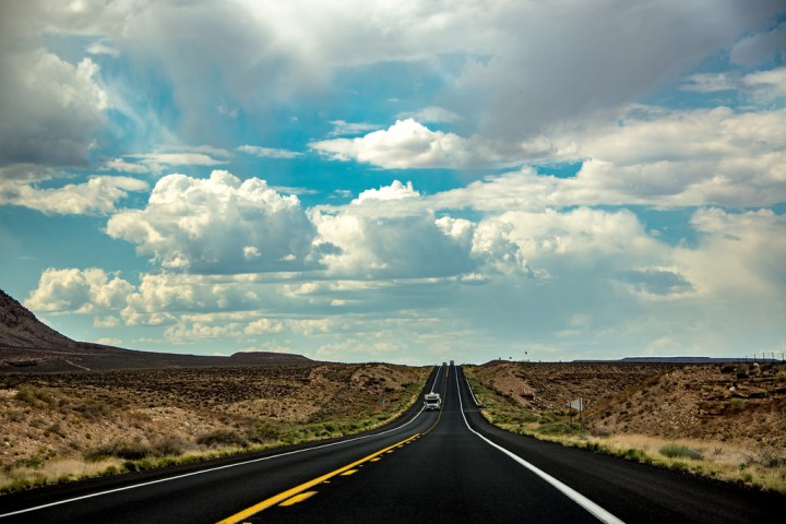
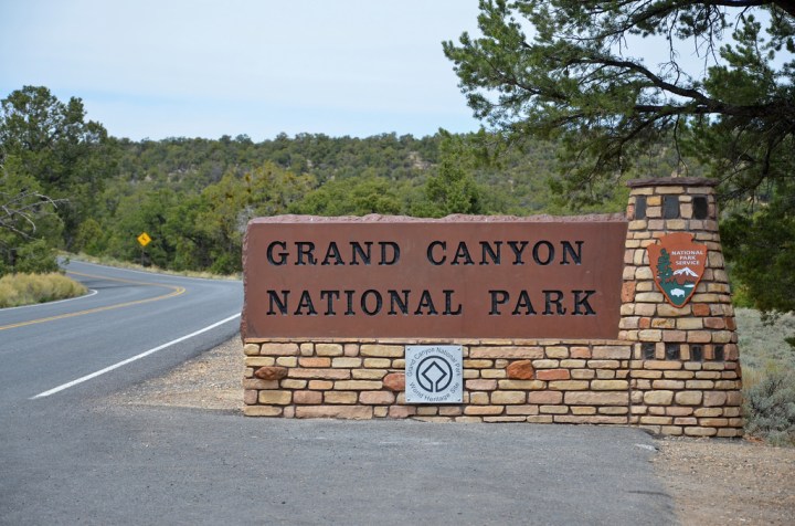
If you want your drive up to the Grand Canyon’s South Rim to be a different experience, you will enjoy this drive. Starting at Cameron on the Navajo Nation, this drive slowly extends from a sweeping desert to forest most people don’t expect to find surrounding this area of the canyon.
Route Map: Google Maps
Route Map: Google Maps
Advertisement
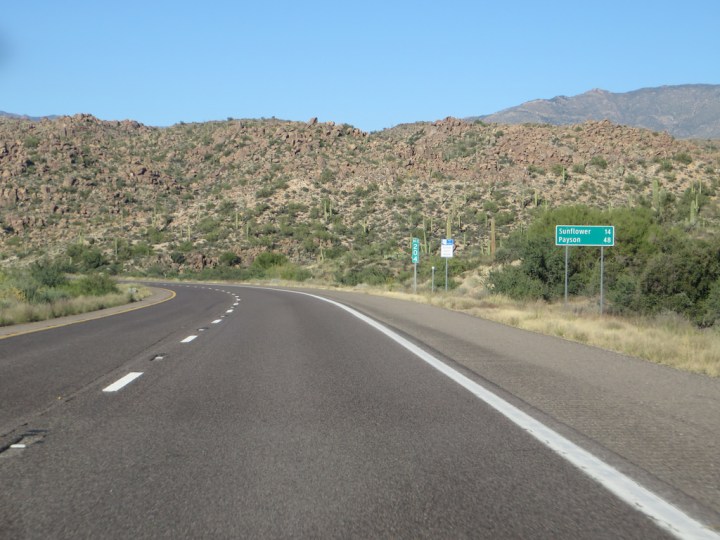
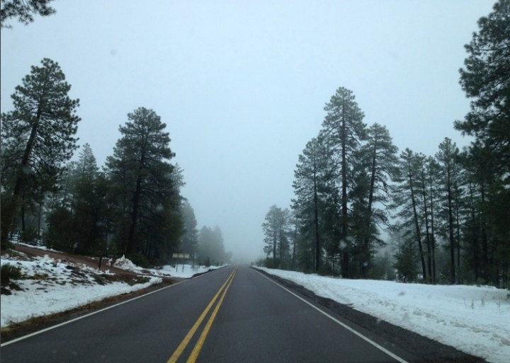
I’ve driven this road so many times, I know exactly where the top view is (approximately one mile past the 4 Peaks Road turn-off). This drive is a long one at 162 miles one-way but you’ll get a sense of just how mountainous Arizona’s landscape is and how quickly it turns into forest.
Route Map: Google Maps
Route Map: Google Maps
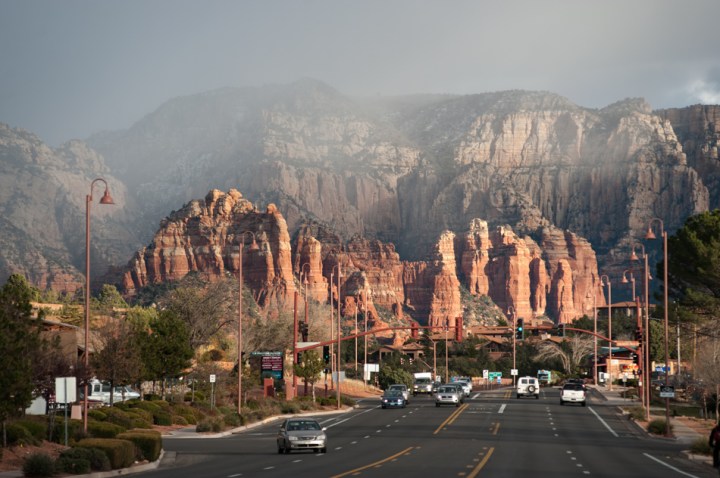
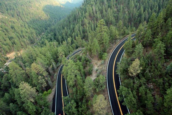
Long hailed as one of the prettiest drives in Arizona, the views on this state route do not disappoint! You’ll find beautiful red landscapes and pines jutting from mountainous terrain as you head north from Prescott to Sedona to Flagstaff.
Route Map: Google Maps
Route Map: Google Maps
Advertisement
Google Maps
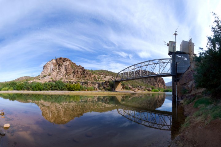
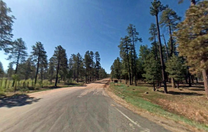
Also known as the Globe-Young Highway, this road can be rough in areas so make sure you’re driving a four-wheel drive before embarking on this road. You’ll cross the Salt River, drive through the Sierra Ancha mountain range, and end near Willow Springs Lake on the Mogollon Rim.
Route Map: Google Maps
Route Map: Google Maps
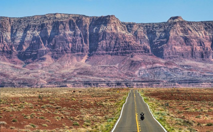
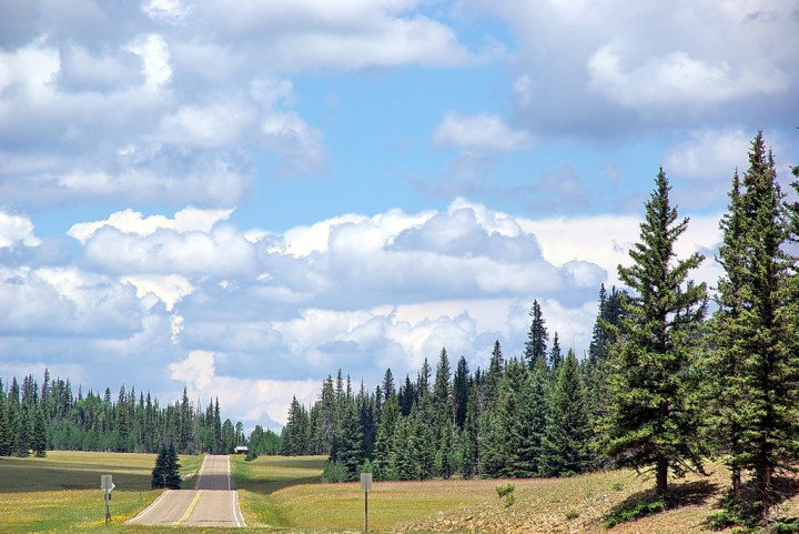
The other 89A, this road is best traveled between April and October, before the roads become impassable from snow and ice. You’ll drive over Marble Canyon, past the Vermilion Cliffs, and to the Grand Canyon’s North Rim, which is heavily forested and a more secluded experience.
Route Map: Google Maps
Route Map: Google Maps
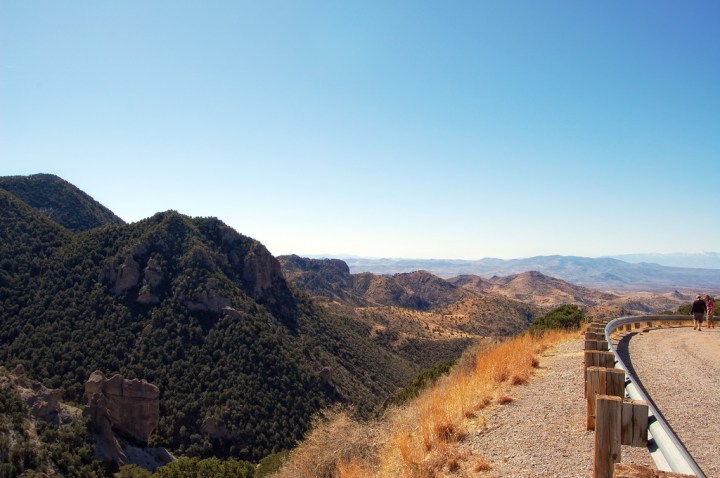
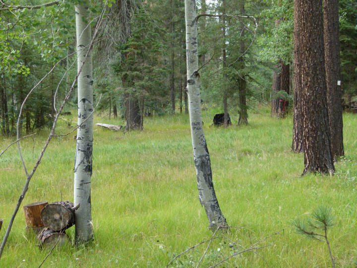
Located in eastern Arizona, this highway runs 117 miles from Morenci and Clifton up to Alpine and Springerville. The road was named for the conquistador Francisco Vásquez de Coronado, who led an expedition from Mexico up through this section of Arizona before crossing into present-day New Mexico.
Route Map: Google Maps
Route Map: Google Maps
You can find more beautiful drives in Arizona by reading Take These 10 Country Roads In Arizona For An Unforgettable Scenic Drive.
OnlyInYourState may earn compensation through affiliate links in this article. As an Amazon Associate, we earn from qualifying purchases.


