
Visiting This Place In Washington Is Like Experiencing A Dream
×

Nikki Cleveland
Author
Washington may be in the left-hand corner of the country, but we get to experience dreamy coastal scenery unlike anywhere else. We’re home to the northwestern-most point of the contiguous states at Cape Flattery, and the western-most point can be found just south at Cape Alava.
It's a relatively easy hike to this spot by the ocean, by taking the Cape Alava Trail in the Olympic National Park. The western-most point is complete with impressive sea stacks, as well as a shoreline full of rocks, seaweed and tide pools.
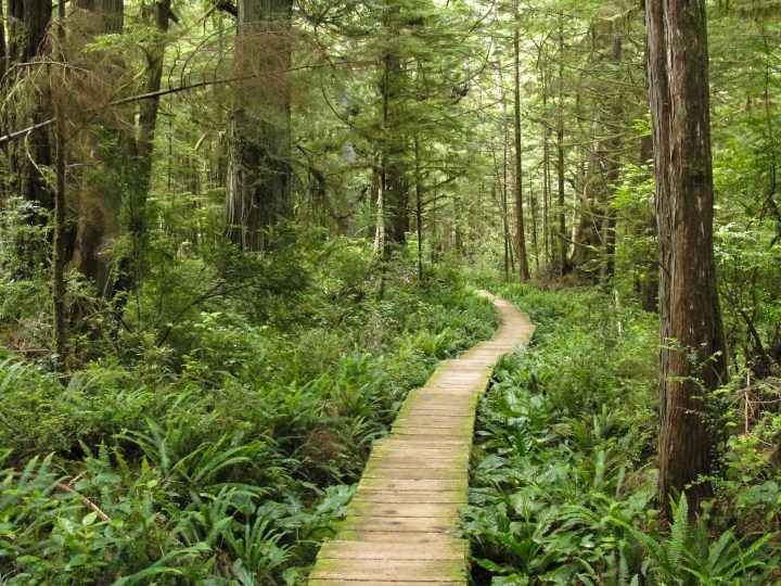
The scenic trail starts out by Lake Ozette, and then crosses a bridge over the Ozette River. It eventually comes to a junction, but if you stay to the right it heads across a boardwalk through a dense forest, and then through an area known as Ahlstrom’s Prairie before reaching the coast.
Advertisement
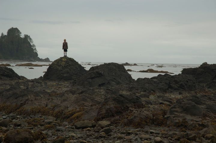
The smell and sounds of the ocean are clear as soon as you're near the shore. It's about a 6-mile hike round-trip to Cape Alava, or you can keep going south towards Sand Point Beach to complete the 9.4 mile Ozette Triangle.
Advertisement
Related Stories

With Endless Board Games, This Incredible Restaurant In Washington Is Perfect For Families
Escape To The Countryside When You Stay At This Rural Airbnb In Washington
The Largest Pizza In Washington Requires Backup To Finish At Talarico's Restaurant
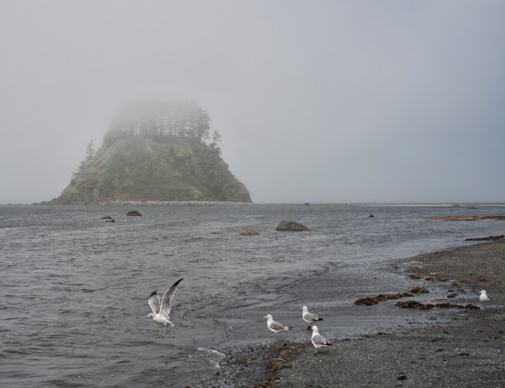
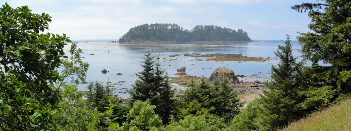
Tskawahyah Island, also known as Cannonball Island, can be seen here at low tide. The giant rock formation stands alone, topped with numerous trees. Grey whales can also be spotted in the distance during late spring and summer.
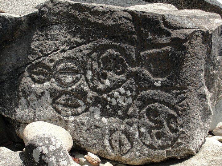
If you continue south along the beach, you'll pass by these ancient petroglyphs at Wedding Rocks. The carved images resemble whales, hunters and sailing ships, and were created by the Makah tribe by using various tools like rocks and bone.
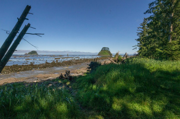
After passing Wedding Rocks, the trail continues for a few miles until it connects with the serene Sand Point Beach. From there, you'll be able to find a trail that leads into the woods back to where this dreamy, one-of-a-kind loop first began.
Isn’t this place by Washington’s coast beautiful? Have you been to Cape Alava before?
OnlyInYourState may earn compensation through affiliate links in this article. As an Amazon Associate, we earn from qualifying purchases.