
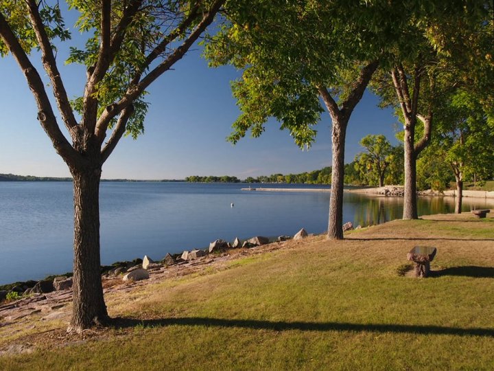
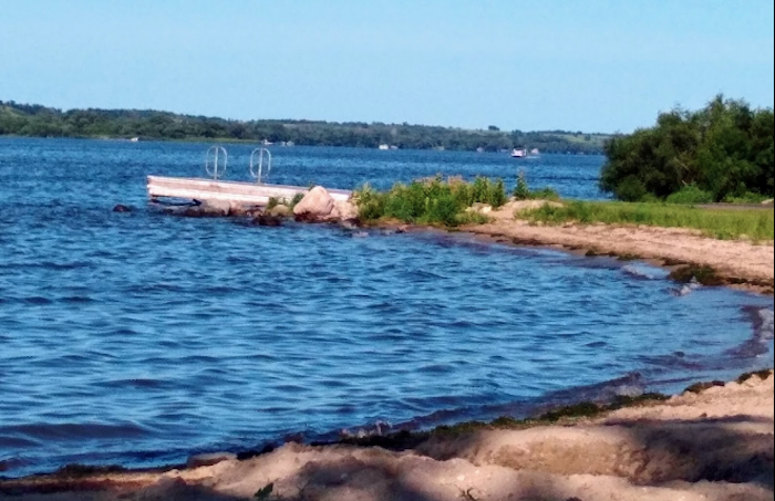
Few People Realize That The Scenic Big Stone Lake In South Dakota Is Also The Lowest Point In The State

Annie
Author
You know that South Dakota’s nickname is the Mount Rushmore State, that we became a state in 1889, and that our official food is mouthwatering chislic, but do you know much about our geography? Sure, the Missouri River runs through South Dakota, but there is so much more to know and love about our geography, including the lowest point in the state, Big Stone Lake:


Related Stories
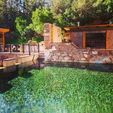
The Small Moccasin Springs In South Dakota Is A Hidden Gem Worth Seeking Out
LaFramboise Island Nature Area Is One Of The Most Underrated Summer Destinations In South Dakota
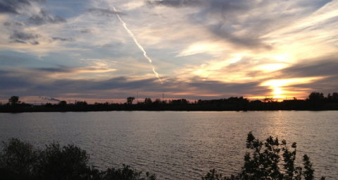
No Matter The Time Of Year, You Will Find Something To Love At South Dakota's Mina Lake Recreation Area

Do you have a place that you would like to see featured on Only in South Dakota? Remember to nominate it here! For more information on the highest point in the Mount Rushmore State, click on This Hike Through The Clouds Will Give You The Absolute Best Views In South Dakota.
OnlyInYourState may earn compensation through affiliate links in this article. As an Amazon Associate, we earn from qualifying purchases.