Where This Natural Bridge In Washington Takes You Is Totally Surreal
Whether you love going on adventures or you just like seeing all of the beauty that the Northwest has to offer, this natural bridge in Washington is truly a hidden gem worth discovering! The rock arch formation can be found along the Northern Loop Trail in Mount Rainier National Park and it rises 200 feet and spans 150 feet over a deep crevasse. If you’re up for an enchanting journey in our state, this is a trip you have got to add to your bucket list:
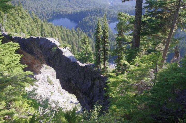
The Northern Loop Trail is an incredibly scenic route that goes through some of the most pristine wilderness in Mount Rainier National Park! The trail descends 1,400 feet and takes you two miles from Windy Gap down to the Lake James campsite. It heads through lush forests, valleys and meadows, and past several rivers and mountain lakes leading to this hidden rock arch formation where you can see a view unlike anywhere else!
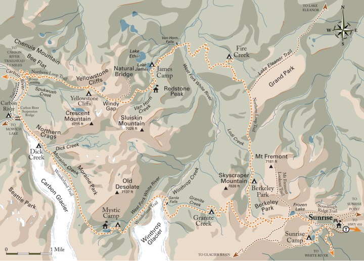
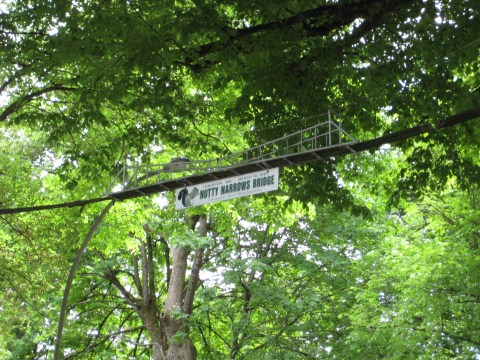
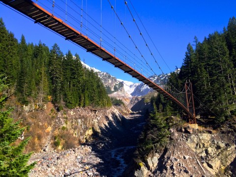
This unforgettable trip begins by hiking up Carbon River Road until you reach Ipsut Campground! Then if you follow along the stunning Wonderland Trail, you'll come across a log bridge that crosses over the Carbon River.
Advertisement
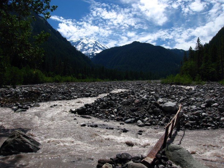
If you continue over the log bridge you'll reach the Northern Loop trail junction and will want to take a left, then at the far bank turn left again downstream. Then a series of steep switchbacks begins where you'll pass through cool forest and can make it 3,000 feet high!
Advertisement
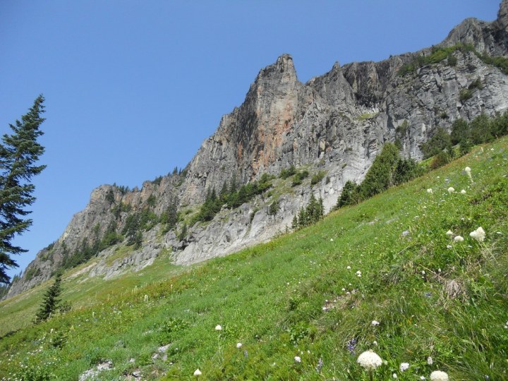
Afterwards, you'll pass by Yellowstone Cliffs campsite where you can see spectacular views of Tyee Peak and the Yellowstone Cliffs, as pictured! If you continue onto the Windy Gap trail, you'll reach an elevation of 5,600 feet where you can admire unique views of the Elysian Fields and Mount Rainier. At the top, there's a smaller 1.75-mile side trail that will take you to the phenomenal natural bridge!
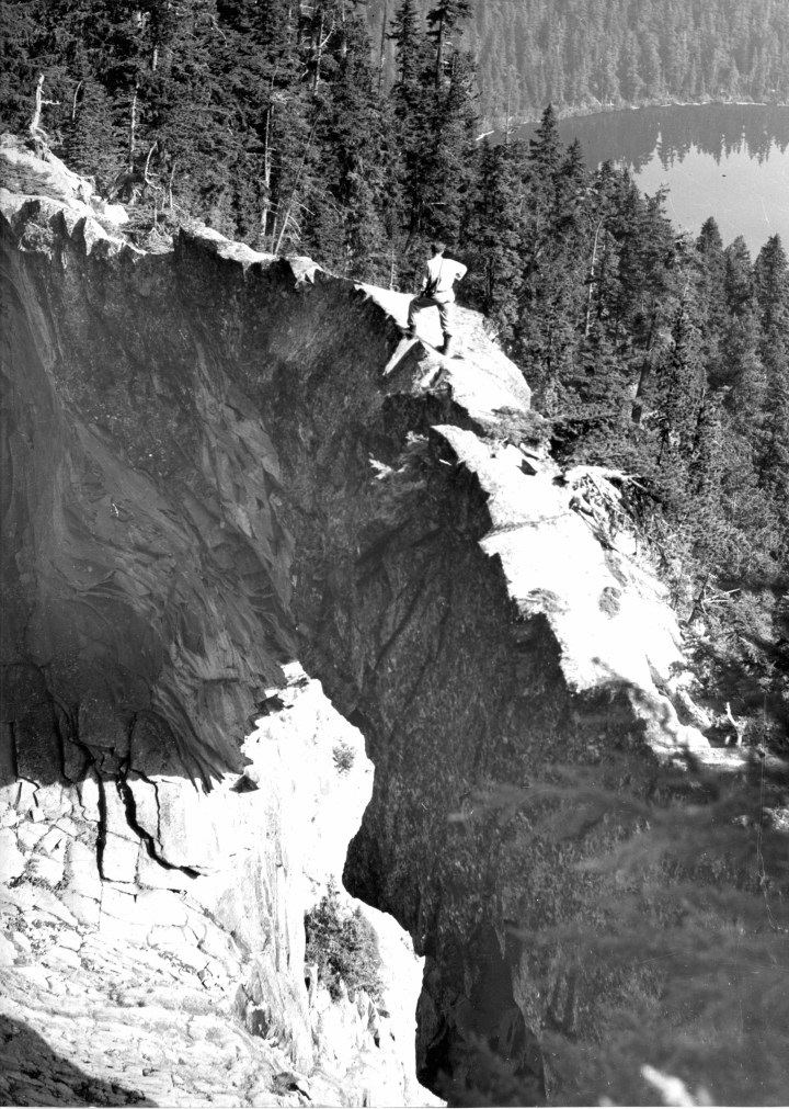
It feels like you're on top of the world while standing on this andesite rock arch, perched 200 feet tall on the hillside behind Lake Ethel and Lake James. It may seem a little intimidating to get out on at first, but it's totally worth the view and experience. To get back, the trip continues on for a ways towards Grand Park and leads back to the Carbon River Road where your journey first began. The National Park Service details the full route back on their website!
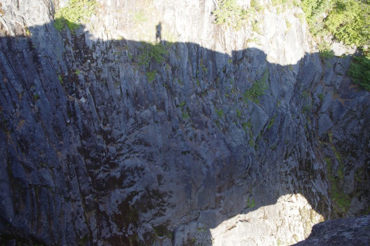
Here's a great shot of the natural bridge's shadow with the photographer standing on top. The view looking down is insane!
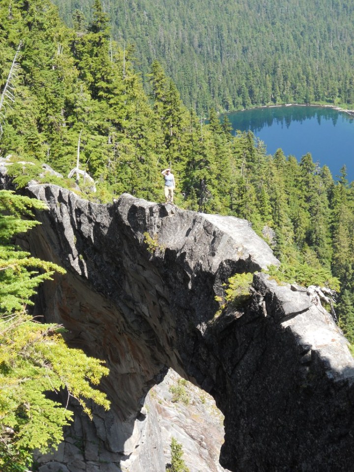
Whether you're an experienced hiker or you just love seeing the adventures captured through photos, this natural bridge is undeniably one of our state's most amazing natural wonders! And like many hikes in the area, it's best to go after fall and winter are over - but it's never too early to start planning the adventure of a lifetime!
Have you been on this natural bridge before?? Want to go across? Share your thoughts below!
OnlyInYourState may earn compensation through affiliate links in this article. As an Amazon Associate, we earn from qualifying purchases.


